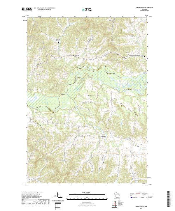
2022 Map of Stevenstown
USGS Topo · Published 2022About this map
The Black River winds through the heart of this landscape at the intersection of La Crosse, Jackson, and Trempealeau Counties. The terrain is defined by its deep coulees, including Gavin Coulee, Roberts Coulee, and Moe Coulee, which channel smaller tributaries like Fleming Creek and Sour Cr toward the river valley. The small settlement of Stevenstown serves as a local crossroads within this network of ridges and narrow valleys.
Find a feature on this map
82 named features on this map. Tap any name to fly to it.
Don’t see what you’re looking for? This feature index may not catch every label — zoom into the map to look around manually.
Map Details
Editions of this 2022 Stevenstown Map
This is the sole edition of this map. No revisions or reprints were ever made.
Other maps of this area

1926 · North Bend
USGS Topo · 1:62,500

1927 · La Crosse
USGS Topo · 1:62,500

1929 · Galesville
USGS Topo · 1:62,500

1929 · North Bend
USGS Topo · 1:62,500

1930 · La Crescent
USGS Topo · 1:62,500

1930 · La Crosse
USGS Topo · 1:62,500

1953 · Eau Claire
USGS Topo · 1:250,000

1956 · La Crescent
USGS Topo · 1:62,500

1958 · Eau Claire
USGS Topo · 1:250,000

1958 · La Crosse
USGS Topo · 1:250,000