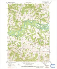
1969 Map of Stevenstown
USGS Topo · Published 1991About this map
The Black River carves a broad, meandering path through this landscape, defining the county lines where Trempealeau and La Crosse counties meet. This late 1960s survey documents a region defined by steep coulees and family-named landmarks, such as Michelson Coulee, Ponstad Coulee, and Toppen Coulee, which channel water toward the larger river system. The settlement of Stevenstown sits near the confluence of Fleming Creek and Lewis Valley Creek, serving as a focal point for the surrounding farming communities.
Find a feature on this map
46 named features on this map. Tap any name to fly to it.
Don’t see what you’re looking for? This feature index may not catch every label — zoom into the map to look around manually.
Map Details
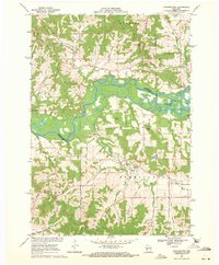
Editions of this 1969 Stevenstown Map
2 editions found
Other maps of this area

1926 · North Bend
USGS Topo · 1:62,500

1927 · La Crosse
USGS Topo · 1:62,500

1929 · Galesville
USGS Topo · 1:62,500

1929 · North Bend
USGS Topo · 1:62,500

1930 · La Crescent
USGS Topo · 1:62,500

1930 · La Crosse
USGS Topo · 1:62,500

1953 · Eau Claire
USGS Topo · 1:250,000

1956 · La Crescent
USGS Topo · 1:62,500

1958 · Eau Claire
USGS Topo · 1:250,000

1958 · La Crosse
USGS Topo · 1:250,000