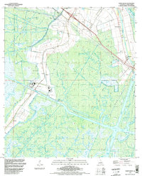
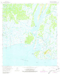
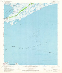
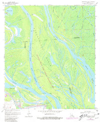
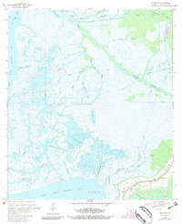
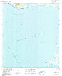
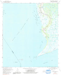
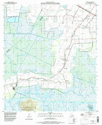
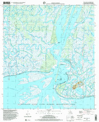
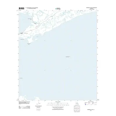
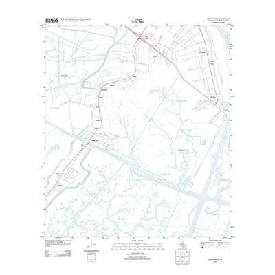
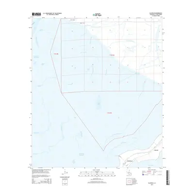
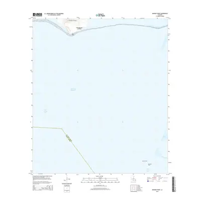
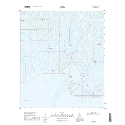
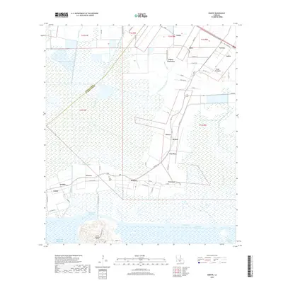
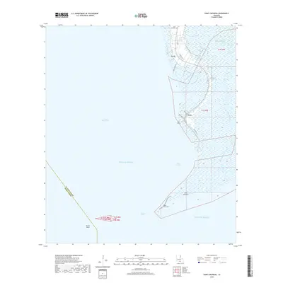
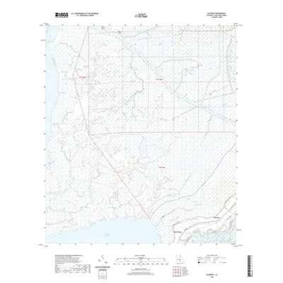
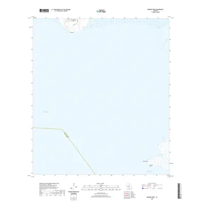
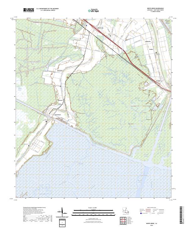
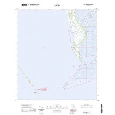
1994 Map of North Bend
USGS Topo · Published 1998About this map
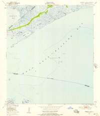
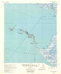
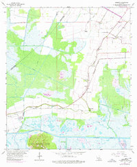
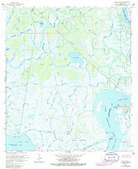
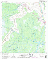
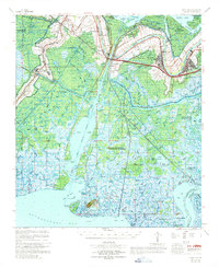
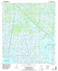
Garden Field Oil and Gas Field and a dense network of canals dominate this low-lying landscape in St. Mary Parish, reflecting the industrial character of coastal Louisiana in the late 20th century. The intricate waterways of Bayou Sale and the Intracoastal Waterway carve through a terrain defined by subsidence and levee management. Pumping stations and floodgates are critical infrastructure here, maintaining the balance between land and water near settlements like North Bend and Midway.
Find a feature on this map
38 named features on this map. Tap any name to fly to it.
Don’t see what you’re looking for? This feature index may not catch every label — zoom into the map to look around manually.
Map Details
Editions of this 1994 North Bend Map
This is the sole edition of this map. No revisions or reprints were ever made.
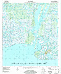
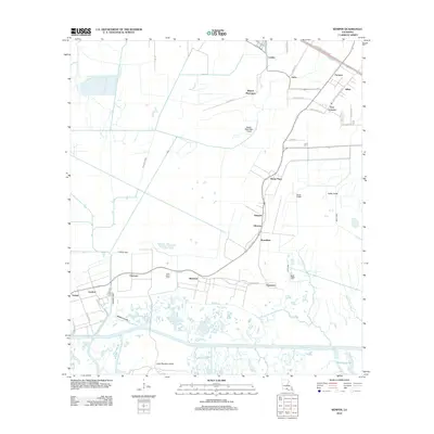
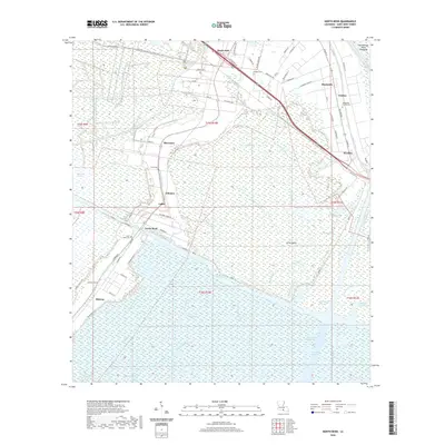
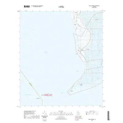
Historical Maps of Midway Through Time
77 maps found

1935 Belle Isle
St. Mary Parish, LA

1937 Bayou Sale
St. Mary Parish, LA

1941 Belle Isle
St. Mary Parish, LA
1949 Hammock Lake
St. Mary Parish, LA

1954 Belle Isle
St. Mary Parish, LA

1957 Bayou Sale
St. Mary Parish, LA
1957 Point Au Fer
St. Mary Parish, LA
1963 Kemper
St. Mary Parish, LA
1966 Belle Isle
St. Mary Parish, LA
1966 Lake Salve
St. Mary Parish, LA
1966 North Bend
St. Mary Parish, LA
1967 Belle Isle
St. Mary Parish, LA
1968 Hammock Lake
St. Mary Parish, LA
1970 Centerville NW
St. Mary Parish, LA
1970 Ellerslie
St. Mary Parish, LA
1970 Marone Point
St. Mary Parish, LA
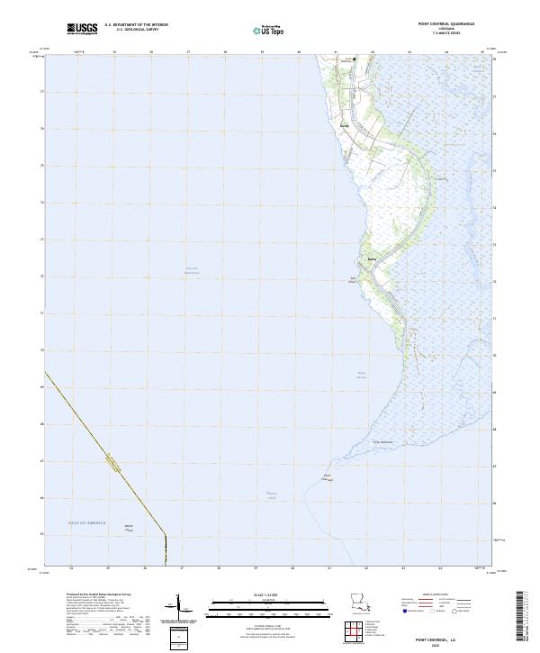
1970 Point Chevreuil
St. Mary Parish, LA
1994 Belle Isle
St. Mary Parish, LA
1994 Ellerslie
St. Mary Parish, LA
1994 Hammock Lake
St. Mary Parish, LA
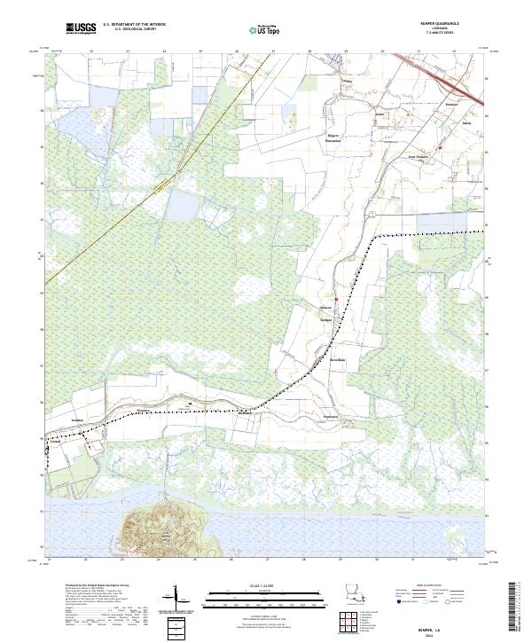
1994 Kemper
St. Mary Parish, LA
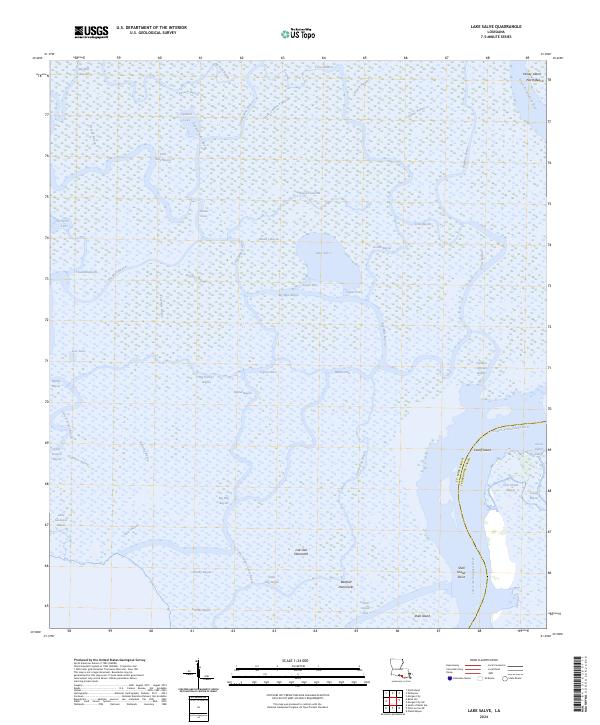
1994 Lake Salve
St. Mary Parish, LA
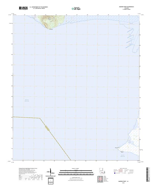
1994 Marone Point
St. Mary Parish, LA
1994 North Bend
St. Mary Parish, LA
1994 Point Chevreuil
St. Mary Parish, LA
1998 Belle Isle
St. Mary Parish, LA
2012 Belle Isle
St. Mary Parish, LA
2012 Centerville NW
St. Mary Parish, LA
2012 Ellerslie
St. Mary Parish, LA
2012 Hammock Lake
St. Mary Parish, LA
2012 Kemper
St. Mary Parish, LA
2012 Lake Salve
St. Mary Parish, LA
2012 Marone Point
St. Mary Parish, LA
2012 North Bend
St. Mary Parish, LA
2012 Point Chevreuil
St. Mary Parish, LA
2015 Belle Isle
St. Mary Parish, LA
2015 Centerville NW
St. Mary Parish, LA
2015 Ellerslie
St. Mary Parish, LA
2015 Hammock Lake
St. Mary Parish, LA
2015 Kemper
St. Mary Parish, LA
2015 Lake Salve
St. Mary Parish, LA
2015 Marone Point
St. Mary Parish, LA
2015 North Bend
St. Mary Parish, LA
2015 Point Chevreuil
St. Mary Parish, LA
2015 South of Belle Isle
St. Mary Parish, LA
2018 Belle Isle
St. Mary Parish, LA
2018 Centerville NW
St. Mary Parish, LA
2018 Ellerslie
St. Mary Parish, LA
2018 Hammock Lake
St. Mary Parish, LA
2018 Kemper
St. Mary Parish, LA
2018 Lake Salve
St. Mary Parish, LA
2018 Marone Point
St. Mary Parish, LA
2018 North Bend
St. Mary Parish, LA
2018 Point Chevreuil
St. Mary Parish, LA
2018 South of Belle Isle
St. Mary Parish, LA
2020 Belle Isle
St. Mary Parish, LA
2020 Centerville NW
St. Mary Parish, LA
2020 Ellerslie
St. Mary Parish, LA
2020 Hammock Lake
St. Mary Parish, LA
2020 Kemper
St. Mary Parish, LA
2020 Lake Salve
St. Mary Parish, LA
2020 Marone Point
St. Mary Parish, LA
2020 North Bend
St. Mary Parish, LA
2020 Point Chevreuil
St. Mary Parish, LA
2020 South of Belle Isle
St. Mary Parish, LA
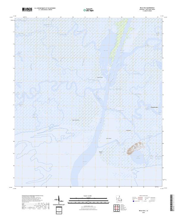
2024 Belle Isle
St. Mary Parish, LA
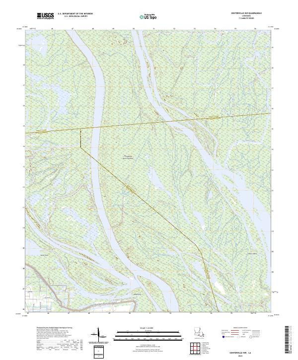
2024 Centerville NW
St. Mary Parish, LA
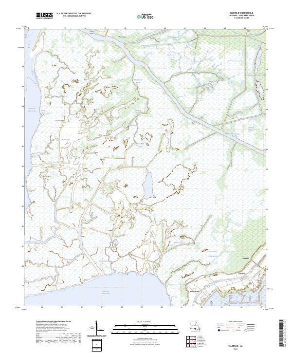
2024 Ellerslie
St. Mary Parish, LA
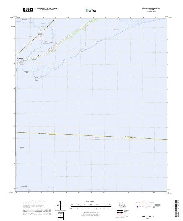
2024 Hammock Lake
St. Mary Parish, LA
2024 Kemper
St. Mary Parish, LA
2024 Lake Salve
St. Mary Parish, LA
2024 Marone Point
St. Mary Parish, LA
2024 North Bend
St. Mary Parish, LA
2024 Point Chevreuil
St. Mary Parish, LA
2024 South of Belle Isle
St. Mary Parish, LA
2025 Point Chevreuil
St. Mary Parish, LA
2025 South of Belle Isle
St. Mary Parish, LA