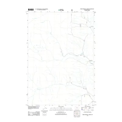
2012 Map of North Bennett Creek
USGS Topo · Published 2012About this map
The N Bennett Cr and Bennett Cr drainage systems define this high-plains landscape in Park County, where water sources dictate the placement of early 21st-century habitations. Cattle ranching and land management are evident through the preservation of family-named holdings such as McClear Ranch and Tolman Ranch in the north and central portions of the map. These sites are linked by a sparse network of designated routes, including Tolman Rd and S Tolman Rd. In the southern reaches, Littlerock Cr passes near the Clark Ranch, situated close to Road 8RA. The map reveals a transition from open drainage basins to more organized road systems near the southeastern corner, where Canyon Rd provides access to the higher elevations and canyon walls that characterize this part of Wyoming.
Find a feature on this map
15 named features on this map. Tap any name to fly to it.
Don’t see what you’re looking for? This feature index may not catch every label — zoom into the map to look around manually.
Map Details
Editions of this 2012 North Bennett Creek Map
This is the sole edition of this map. No revisions or reprints were ever made.
Other maps of this area

1944 · Red Lodge
USGS Topo · 1:62,500

1950 · Clark
USGS Topo · 1:62,500

1950 · Deep Lake
USGS Topo · 1:62,500

1954 · Billings
USGS Topo · 1:250,000

1955 · Cody
USGS Topo · 1:250,000

1956 · Mount Maurice
USGS Topo · 1:62,500

1957 · Billings
USGS Topo · 1:250,000

1958 · Billings
USGS Topo · 1:250,000

1958 · Cody
USGS Topo · 1:250,000

1962 · Cody
USGS Topo · 1:250,000