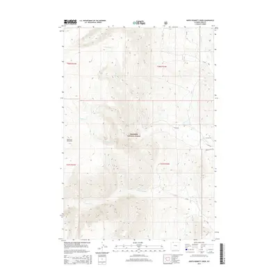
2015 Map of North Bennett Creek
USGS Topo · Published 2015About this map
The Shoshone National Forest dominates this landscape in the northern reaches of Park County, where the eastern slopes of the Beartooth Mountains meet the high plains. This 2015 survey details a complex drainage network defined by the mountain-fed waters of Bennett Creek, its northern and western forks, and the winding path of Littlerock Creek. The terrain is marked by significant elevation changes, with the high ridges of the Beartooths giving way to the canyon systems and alluvial fans below. Human presence is largely defined by the network of access roads servicing the forest and ranchlands, including Tolman Rd and Bennett Creek Rd. These routes trace the contours of the land, providing access to the various sections of the public land system, including parts of Township 58 North, Range 104 West and surrounding blocks, which are essential for navigating this high-country topography.
Find a feature on this map
21 named features on this map. Tap any name to fly to it.
Don’t see what you’re looking for? This feature index may not catch every label — zoom into the map to look around manually.
Map Details
Editions of this 2015 North Bennett Creek Map
This is the sole edition of this map. No revisions or reprints were ever made.
Other maps of this area

1944 · Red Lodge
USGS Topo · 1:62,500

1950 · Clark
USGS Topo · 1:62,500

1950 · Deep Lake
USGS Topo · 1:62,500

1954 · Billings
USGS Topo · 1:250,000

1955 · Cody
USGS Topo · 1:250,000

1956 · Mount Maurice
USGS Topo · 1:62,500

1957 · Billings
USGS Topo · 1:250,000

1958 · Billings
USGS Topo · 1:250,000

1958 · Cody
USGS Topo · 1:250,000

1962 · Cody
USGS Topo · 1:250,000