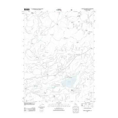
2012 Map of North Bloomfield
USGS Topo · Published 2012About this map
The South Yuba River carves a deep path through this Northern California landscape, framing a region defined by its hydraulic mining legacy and complex water management systems. Long-standing settlements like North Bloomfield and Lake City sit near the rugged terrain of Buck Mountain and Missouri Bar, where the geography still bears the marks of 19th-century gold rush activity. The intricate network of historical water infrastructure is visible in the Snow Mountain Ditch and the Cascade Canal, which historically redirected Sierra Nevada runoff for industrial and agricultural use.
Find a feature on this map
140 named features on this map. Tap any name to fly to it.
Don’t see what you’re looking for? This feature index may not catch every label — zoom into the map to look around manually.
Map Details
Editions of this 2012 North Bloomfield Map
This is the sole edition of this map. No revisions or reprints were ever made.
Other maps of this area

1888 · Smartsville
USGS Topo · 1:125,000

1891 · Colfax
USGS Topo · 1:125,000

1891 · Smartsville
USGS Topo · 1:125,000

1892 · Smartsville
USGS Topo · 1:125,000

1892 · Colfax
USGS Topo · 1:125,000

1894 · Colfax
USGS Topo · 1:125,000

1894 · Smartsville
USGS Topo · 1:125,000

1895 · Smartsville
USGS Topo · 1:125,000

1898 · Colfax
USGS Topo · 1:125,000

1900 · Colfax
USGS Topo · 1:125,000