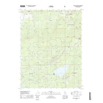
2018 Map of North Bloomfield
USGS Topo · Published 2018About this map
The San Juan Ridge landscape of Nevada County reveals a complex history of hydraulic mining and water management within the Tahoe National Forest. The settlement at North Bloomfield serves as a primary hub near the northern edge of the map, situated above the dramatic cuts of North Canyon and Missouri Canyon. The legacy of the region's gold-rush era is visible in the network of legacy mining infrastructure, including the Snow Mountain Flume Trail and the Cascade Canal, which historically directed water for extraction operations.
Find a feature on this map
154 named features on this map. Tap any name to fly to it.
Don’t see what you’re looking for? This feature index may not catch every label — zoom into the map to look around manually.
Map Details
Editions of this 2018 North Bloomfield Map
This is the sole edition of this map. No revisions or reprints were ever made.
Other maps of this area

1888 · Smartsville
USGS Topo · 1:125,000

1891 · Colfax
USGS Topo · 1:125,000

1891 · Smartsville
USGS Topo · 1:125,000

1892 · Smartsville
USGS Topo · 1:125,000

1892 · Colfax
USGS Topo · 1:125,000

1894 · Colfax
USGS Topo · 1:125,000

1894 · Smartsville
USGS Topo · 1:125,000

1895 · Smartsville
USGS Topo · 1:125,000

1898 · Colfax
USGS Topo · 1:125,000

1900 · Colfax
USGS Topo · 1:125,000