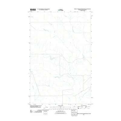
2011 Map of North Chinook Reservoir NE
USGS Topo · Published 2011About this map
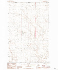
East Fork Battle Creek winds through this northern landscape in Montana, defining the natural drainage and elevation patterns of the region. This 2011 survey illustrates a sparse and open terrain along the border with Saskatchewan, where the topography is shaped by the delicate branching of watercourses. The local road network is minimal, prominently featuring Anita Rd as it traverses the southeastern portion of the map. This area represents a quiet segment of the Montana-Saskatchewan series, where the land is primarily characterized by the natural flow of the creek and the vast stretches of open country typical of the northern high plains.
Find a feature on this map
2 named features on this map. Tap any name to fly to it.
Don’t see what you’re looking for? This feature index may not catch every label — zoom into the map to look around manually.
Map Details
Editions of this 2011 North Chinook Reservoir NE Map
This is the sole edition of this map. No revisions or reprints were ever made.
Other maps of this area

1912 · Zurich
USGS Topo · 1:125,000

1953 · Havre
USGS Topo · 1:250,000

1957 · Havre
USGS Topo · 1:250,000

1958 · Havre
USGS Topo · 1:250,000
1984 · Richmond Reservoir SW
USGS Topo · 1:24,000
1984 · Mc Laren Reservoir
USGS Topo · 1:24,000

1984 · Havre
USGS Topo · 1:100,000
1984 · Richmond Reservoir NW
USGS Topo · 1:24,000
1984 · North Chinook Reservoir NE
USGS Topo · 1:24,000
1984 · North Chinook Reservoir
USGS Topo · 1:24,000