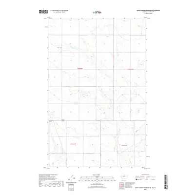
2020 Map of North Chinook Reservoir NE
USGS Topo · Published 2020About this map
Twin Coulee and several other drainage features define the topographical character of this Blaine County landscape. Located in north-central Montana, the area is largely defined by its township and range grid system, visible through the intersection of t37n r18e, t37n r19e, t36n r18e, and t36n r19e. The terrain is marked by seasonal watercourses such as Burrell Coulee and Corregan Coulee, which highlight the natural erosion patterns of the high plains. Human activity is sparse on this modern survey, represented primarily by rural routes like Anita Rd, which provides access through the expansive ranch lands. The map illustrates a classic western survey pattern where natural landforms and legal boundaries dictate the sparse distribution of infrastructure.
Find a feature on this map
8 named features on this map. Tap any name to fly to it.
Don’t see what you’re looking for? This feature index may not catch every label — zoom into the map to look around manually.
Map Details
Editions of this 2020 North Chinook Reservoir NE Map
This is the sole edition of this map. No revisions or reprints were ever made.
Other maps of this area

1912 · Zurich
USGS Topo · 1:125,000

1953 · Havre
USGS Topo · 1:250,000

1957 · Havre
USGS Topo · 1:250,000

1958 · Havre
USGS Topo · 1:250,000
1984 · Richmond Reservoir SW
USGS Topo · 1:24,000
1984 · Mc Laren Reservoir
USGS Topo · 1:24,000

1984 · Havre
USGS Topo · 1:100,000
1984 · Richmond Reservoir NW
USGS Topo · 1:24,000
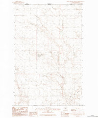
1984 · North Chinook Reservoir NE
USGS Topo · 1:24,000
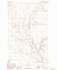
1984 · North Chinook Reservoir
USGS Topo · 1:24,000