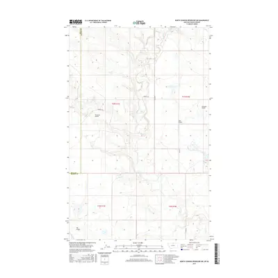
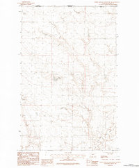
2017 Map of North Chinook Reservoir NW
USGS Topo · Published 2017About this map
Battle Cr meanders through this portion of the northern plains, cutting a path through the prairie along the border between Hill County and Blaine County. The landscape is defined by its drainage patterns, notably the deep impressions of Woodpile Coulee and Twin Coulee, which highlight the erosion typical of this high-latitude region. Development is sparse, with transportation limited to the grid-aligned Woodpile Rd and Ellome Rd. The map illustrates the Public Land Survey System structure across townships t37n r17e and t37n r18e, showing a rural environment where land use remains primarily agricultural or pastoral, punctuated only by occasional water features like Hay Coulee and Corregan Coulee.
Find a feature on this map
12 named features on this map. Tap any name to fly to it.
Don’t see what you’re looking for? This feature index may not catch every label — zoom into the map to look around manually.
Map Details
Editions of this 2017 North Chinook Reservoir NW Map
This is the sole edition of this map. No revisions or reprints were ever made.
Other maps of this area

1912 · Zurich
USGS Topo · 1:125,000

1912 · Thibedeau Lake
USGS Topo · 1:125,000

1953 · Havre
USGS Topo · 1:250,000

1957 · Havre
USGS Topo · 1:250,000

1958 · Havre
USGS Topo · 1:250,000
1972 · Lake Thibadeau
USGS Topo · 1:24,000
1972 · Lake Thibadeau NE
USGS Topo · 1:24,000
1984 · Mc Laren Reservoir
USGS Topo · 1:24,000

1984 · Havre
USGS Topo · 1:100,000
1984 · North Chinook Reservoir NE
USGS Topo · 1:24,000