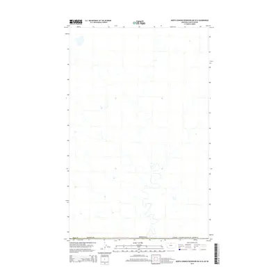
2014 Map of North Chinook Reservoir NW OE N
USGS Topo · Published 2014About this map
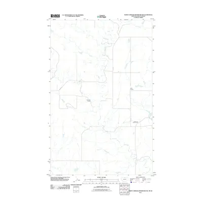
The international border between the Canada / United States of America and the northern reaches of the High Plains defines this remote landscape. This survey documents a sparsely populated area where the political boundary of Montana meets the Canadian line, while simultaneously tracking the internal division between Hill Co and Blaine Co. The terrain is characterized by the winding, ephemeral drainage patterns typical of the Milk River watershed region, illustrating the subtle topography of the northern plains before they transition into the Canadian prairies. The map serves as a primary record of land ownership and administrative limits in a region where geography and geopolitical lines are the primary features of the land.
Find a feature on this map
3 named features on this map. Tap any name to fly to it.
Don’t see what you’re looking for? This feature index may not catch every label — zoom into the map to look around manually.
Map Details
Editions of this 2014 North Chinook Reservoir NW OE N Map
This is the sole edition of this map. No revisions or reprints were ever made.
Other maps of this area

1912 · Zurich
USGS Topo · 1:125,000

1912 · Thibedeau Lake
USGS Topo · 1:125,000

1953 · Havre
USGS Topo · 1:250,000

1957 · Havre
USGS Topo · 1:250,000

1958 · Havre
USGS Topo · 1:250,000
1972 · Lake Thibadeau NE
USGS Topo · 1:24,000

1984 · Havre
USGS Topo · 1:100,000
1984 · North Chinook Reservoir NE
USGS Topo · 1:24,000
1984 · North Chinook Reservoir NW
USGS Topo · 1:24,000
2011 · North Chinook Reservoir NW
USGS Topo · 1:24,000