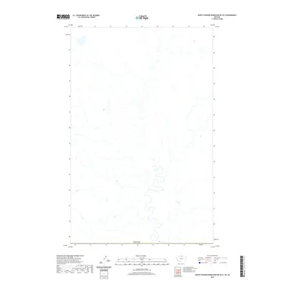
2020 Map of North Chinook Reservoir NW OE N
USGS Topo · Published 2020About this map
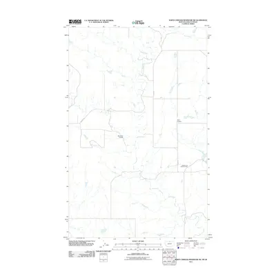
This remote northern Montana landscape sits directly along the international border between the United States and Canada. The terrain is characterized by intricate drainage patterns and small depressions across the high plains of Hill County. As a 2020 edition, the map meticulously documents the hydrography and elevation of this sparsely populated borderland, where the lack of named settlements emphasizes the open, undeveloped character of the region. The primary human imprint is found in the surveyors' grid and the demarcated international boundary line, providing a precise spatial record of this northern frontier.
Find a feature on this map
1 named feature on this map. Tap any name to fly to it.
Don’t see what you’re looking for? This feature index may not catch every label — zoom into the map to look around manually.
Map Details
Editions of this 2020 North Chinook Reservoir NW OE N Map
This is the sole edition of this map. No revisions or reprints were ever made.
Other maps of this area

1912 · Zurich
USGS Topo · 1:125,000

1912 · Thibedeau Lake
USGS Topo · 1:125,000

1953 · Havre
USGS Topo · 1:250,000

1957 · Havre
USGS Topo · 1:250,000

1958 · Havre
USGS Topo · 1:250,000
1972 · Lake Thibadeau NE
USGS Topo · 1:24,000

1984 · Havre
USGS Topo · 1:100,000
1984 · North Chinook Reservoir NE
USGS Topo · 1:24,000
1984 · North Chinook Reservoir NW
USGS Topo · 1:24,000
2011 · North Chinook Reservoir NW
USGS Topo · 1:24,000