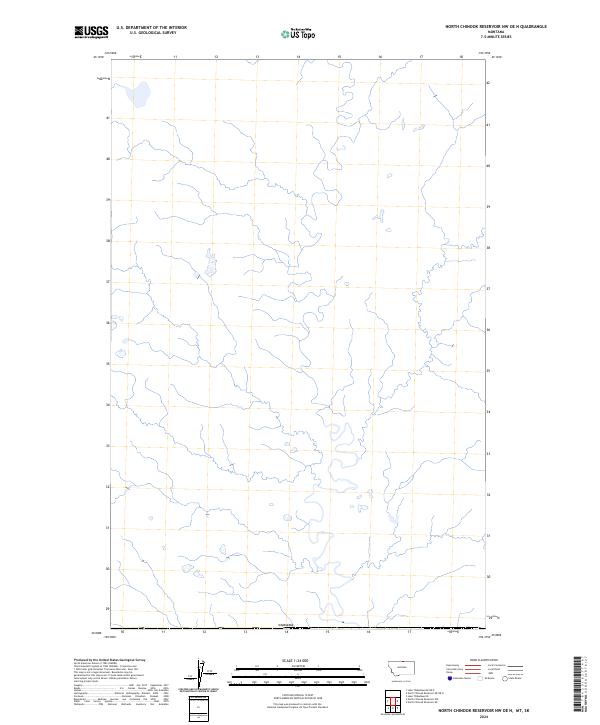
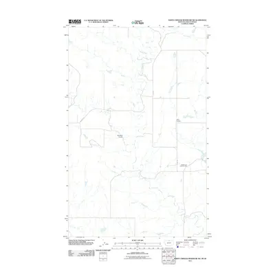
2024 Map of North Chinook Reservoir NW OE N
USGS Topo · Published 2024About this map
This remote northern frontier in Blaine County, Montana, is defined by its position along the international border with Canada. The landscape is a complex network of seasonal drainage channels and small, scattered wetlands typical of the high plains north of the Milk River. Mapping from the U.S. Geological Survey and the U.S. Census Bureau illustrates a region where natural water distribution and the vast boundary line are the primary geographic features. The lack of named roads or established settlements on this specific sheet emphasizes the open, agricultural, or grazing nature of the land at the edge of the United States. This survey provides a precise look at the topography and natural drainage patterns of the Montana prairie just before it crosses into Canadian territory.
Find a feature on this map
1 named feature on this map. Tap any name to fly to it.
Don’t see what you’re looking for? This feature index may not catch every label — zoom into the map to look around manually.
Map Details
Editions of this 2024 North Chinook Reservoir NW OE N Map
This is the sole edition of this map. No revisions or reprints were ever made.
Other maps of this area

1912 · Zurich
USGS Topo · 1:125,000

1912 · Thibedeau Lake
USGS Topo · 1:125,000

1953 · Havre
USGS Topo · 1:250,000

1957 · Havre
USGS Topo · 1:250,000

1958 · Havre
USGS Topo · 1:250,000
1972 · Lake Thibadeau NE
USGS Topo · 1:24,000

1984 · Havre
USGS Topo · 1:100,000
1984 · North Chinook Reservoir NE
USGS Topo · 1:24,000
1984 · North Chinook Reservoir NW
USGS Topo · 1:24,000
2011 · North Chinook Reservoir NW
USGS Topo · 1:24,000