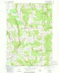
1954 Map of North Clymer
USGS Topo · Published 1985About this map
The Pennsylvania railroad corridor defines the rural layout of this southwest Chautauqua County landscape, connecting small farming hamlets and industrial sidings. The line runs north-to-south, linking North Clymer and Panama Sta through a region dominated by the drainage of Brokenstraw Creek and French Creek. The map documents a period of transitioning land use, where large tracts are designated as State Reforestation Area, reclaiming former agricultural fields back into woodland.
Find a feature on this map
44 named features on this map. Tap any name to fly to it.
Don’t see what you’re looking for? This feature index may not catch every label — zoom into the map to look around manually.
Map Details
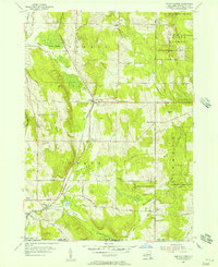
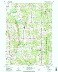
Editions of this 1954 North Clymer Map
3 editions found
Other maps of this area

1904 · Chautaqua
USGS Topo · 1:62,500

1905 · Clymer
USGS Topo · 1:62,500

1926 · Youngsville
USGS Topo · 1:62,500

1929 · Corry
USGS Topo · 1:48,000

1929 · Youngsville
USGS Topo · 1:62,500

1932 · Corry
USGS Topo · 1:62,500

1939 · Clymer
USGS Topo · 1:62,500

1941 · Chautauqua
USGS Topo · 1:62,500

1941 · Clymer
USGS Topo · 1:62,500

1943 · Youngsville
USGS Topo · 1:62,500