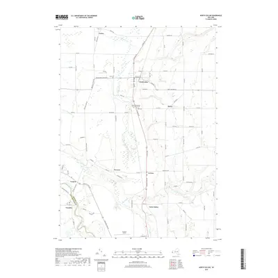
2019 Map of North Collins
USGS Topo · Published 2019About this map
Cattaraugus Creek carves a deep southwest border between Erie and Cattaraugus Counties, defining the landscape of this region during the early 21st century. The village of North Collins serves as the central hub, situated where the terrain transitions into the creek valleys of Taylor Hollow and the North Branch Clear Creek. This survey captures a mix of longstanding agricultural communities and small hamlets like Lawtons and Shirley, linked by a network of historic routes such as Versailles Plank Road. Genealogists will find significant value in the documentation of several local burial grounds, including the North Collins Quaker Meeting House Cemetery and Huson Cemetery, which mark the presence of early religious and settler communities. Local aviation is noted through both Gowanda Airport and the smaller TTT Air field, reflecting the rural character of the area's transportation infrastructure.
Find a feature on this map
89 named features on this map. Tap any name to fly to it.
Don’t see what you’re looking for? This feature index may not catch every label — zoom into the map to look around manually.
Map Details
Editions of this 2019 North Collins Map
This is the sole edition of this map. No revisions or reprints were ever made.
Other maps of this area

1899 · Silver Creek
USGS Topo · 1:62,500

1900 · Cherry Creek
USGS Topo · 1:62,500

1905 · Eden
USGS Topo · 1:62,500

1907 · Eden
USGS Topo · 1:62,500

1923 · Cattaraugus
USGS Topo · 1:62,500

1938 · Cattaraugus
USGS Topo · 1:62,500

1941 · Cattaraugus
USGS Topo · 1:62,500

1941 · Cherry Creek
USGS Topo · 1:62,500

1944 · Eden
USGS Topo · 1:62,500

1944 · North Collins
USGS Topo · 1:31,680