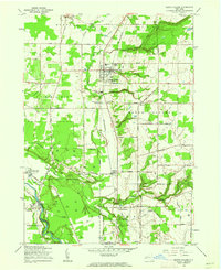
1960 Map of North Collins
USGS Topo · Published 1962About this map
The Cattaraugus Indian Reservation dominates the southwest portion of this 1960 revision, where the Cattaraugus Creek winds through a deeply incised valley. This landscape illustrates a unique intersection of Seneca heritage and mid-century infrastructure, featuring the Cattaraugus Long House Ch and the Gowanda State Hospital Annex. The agricultural and industrial character of Erie County is evident in the numerous Gas Wells dotting the plateaus and the active Erie-Lackawanna rail line connecting the village of North Collins with smaller hamlets like Lawtons and Collins.
Find a feature on this map
68 named features on this map. Tap any name to fly to it.
Don’t see what you’re looking for? This feature index may not catch every label — zoom into the map to look around manually.
Map Details
Editions of this 1960 North Collins Map
2 editions found
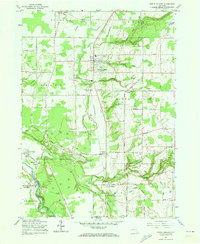
Other maps of this area

1899 · Silver Creek
USGS Topo · 1:62,500

1900 · Cherry Creek
USGS Topo · 1:62,500

1905 · Eden
USGS Topo · 1:62,500

1907 · Eden
USGS Topo · 1:62,500

1923 · Cattaraugus
USGS Topo · 1:62,500

1938 · Cattaraugus
USGS Topo · 1:62,500

1941 · Cattaraugus
USGS Topo · 1:62,500

1941 · Cherry Creek
USGS Topo · 1:62,500

1944 · Eden
USGS Topo · 1:62,500

1944 · North Collins
USGS Topo · 1:31,680