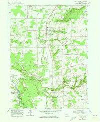
1960 Map of North Collins
USGS Topo · Published 1973About this map
Cattaraugus Indian Reservation dominates the southwestern portion of this Erie County landscape, where the Cattaraugus Creek carves a deep boundary through the terrain. The map reveals a community deeply rooted in its local institutions, from the Cattaraugus Long House Ch and Newtown settlement within the reservation to the Friends Meetinghouse Burial Grounds and Holy Spirit Sch further north. The Erie-Lackawanna railroad line serves as a central spine for the region, connecting the village of North Collins with smaller hamlets like Lawtons and Shirley.
Find a feature on this map
68 named features on this map. Tap any name to fly to it.
Don’t see what you’re looking for? This feature index may not catch every label — zoom into the map to look around manually.
Map Details
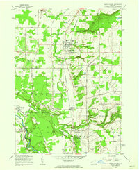
Editions of this 1960 North Collins Map
2 editions found
Other maps of this area

1899 · Silver Creek
USGS Topo · 1:62,500

1900 · Cherry Creek
USGS Topo · 1:62,500

1905 · Eden
USGS Topo · 1:62,500

1907 · Eden
USGS Topo · 1:62,500

1923 · Cattaraugus
USGS Topo · 1:62,500

1938 · Cattaraugus
USGS Topo · 1:62,500

1941 · Cattaraugus
USGS Topo · 1:62,500

1941 · Cherry Creek
USGS Topo · 1:62,500

1944 · Eden
USGS Topo · 1:62,500

1944 · North Collins
USGS Topo · 1:31,680