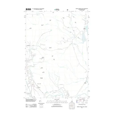
2012 Map of North Conway East
USGS Topo · Published 2012About this map
Cranmore Mountain and its famous Mount Cranmore Ski Area dominate the western slopes of this New Hampshire and Maine borderland. The landscape is defined by the sharp transition from the granite heights of Kearsarge North and Hurricane Mountain down to the fertile bends of the Saco River. The settlement pattern follows the valley floors, with the historic community of Redstone situated near the prominent Redstone Ledge, an area long associated with the region's quarrying past. To the east, the geography shifts toward the quiet waters of Upper Kimball Pond and Lower Kimball Pond near South Chatham. This survey provides a look at the intersection of recreational tourism and rural mountain life, tracing the winding paths of Artist Brook and Weeks Brook as they drain the high country surrounding the Green Hills.
Find a feature on this map
71 named features on this map. Tap any name to fly to it.
Don’t see what you’re looking for? This feature index may not catch every label — zoom into the map to look around manually.
Map Details
Editions of this 2012 North Conway East Map
This is the sole edition of this map. No revisions or reprints were ever made.
Other maps of this area

1894 · North Conway
USGS Topo · 1:62,500

1896 · North Conway
USGS Topo · 1:62,500

1909 · Fryeburg
USGS Topo · 1:62,500

1910 · Kezar Falls
USGS Topo · 1:48,000

1911 · Fryeburg
USGS Topo · 1:62,500

1911 · Kezar Falls
USGS Topo · 1:62,500

1930 · Ossipee Lake
USGS Topo · 1:62,500

1941 · Fryeburg
USGS Topo · 1:62,500

1942 · North Conway
USGS Topo · 1:62,500

1945 · North Conway
USGS Topo · 1:62,500