
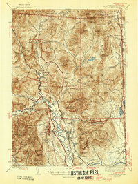
1945 Map of North Conway
USGS Topo · Published 1945About this map
North Conway and the mountain settlements of the Mount Washington Valley are depicted here just as the post-war era began. The landscape is defined by the winding course of the Saco River, which serves as the primary corridor for both the Maine Central and Boston and Maine railroads. While the village centers of Jackson and Glen show established road networks including State Route 16, the surrounding terrain is a mosaic of steep ridges and protected lands like the Merriman State Forest and Conway State Forest. The presence of landmarks such as Cathedral Ledge and the Davis Memorial Tower on Black Mtn illustrates the region's long-standing draw for recreation and scenic observation. Local history details are preserved in the locations of the Eastman Sch and industrial points like Redstone, known for its quarrying history near the base of Rattlesnake Mtn.
Find a feature on this map
127 named features on this map. Tap any name to fly to it.
Don’t see what you’re looking for? This feature index may not catch every label — zoom into the map to look around manually.
Map Details
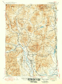
Editions of this 1945 North Conway Map
3 editions found
Other maps of this area

1893 · Mt. Washington
USGS Topo · 1:62,500

1893 · Gorham
USGS Topo · 1:62,500

1894 · North Conway
USGS Topo · 1:62,500

1895 · Crawford Notch
USGS Topo · 1:62,500

1896 · Mt. Washington
USGS Topo · 1:62,500

1896 · Crawford Notch
USGS Topo · 1:62,500

1896 · North Conway
USGS Topo · 1:62,500

1896 · Gorham
USGS Topo · 1:62,500

1909 · Fryeburg
USGS Topo · 1:62,500

1910 · Kezar Falls
USGS Topo · 1:48,000