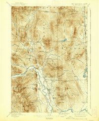
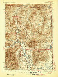
1945 Map of North Conway
USGS Topo · Published 1950About this map
North Conway and the mountain settlements of the Saco River valley appear in this survey conducted during the 1940s. The landscape is defined by the convergence of the Boston and Maine Railroad and the Maine Central Railroad at a time when rail travel still underpinned the regional economy. Beyond the valley floors, the map meticulously charts a dense network of trails and fire lookouts, such as the Iron Mtn Fire Tower and the Pequawket Mtn Fire Tower, serving the White Mountain National Forest. Small communities like Jackson, Glen, and Redstone are shown alongside local landmarks including the Eastman Sch and the Davis Memorial Tower. The proximity of the New Hampshire Maine border at South Chatham highlights the interconnectedness of these high-country outposts through corridors like the Province Road and the Ellis River Highway.
Find a feature on this map
159 named features on this map. Tap any name to fly to it.
Don’t see what you’re looking for? This feature index may not catch every label — zoom into the map to look around manually.
Map Details
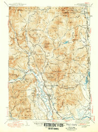
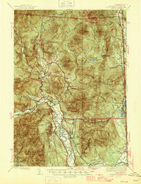
Editions of this 1945 North Conway Map
3 editions found
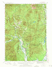
Historical Maps of Conway Through Time
4 maps found