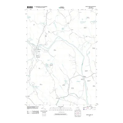
2010 Map of North Creek
USGS Topo · Published 2010About this map
North Creek and the neighboring settlements of Holcombville and Sodom characterize the human landscape along the upper Hudson River during the early 21st century. The map reveals a pattern of development closely tied to the winding river valley and the base of prominent peaks like Oven Mountain and Huckleberry Mountain. For genealogists, the inclusion of several small burial grounds such as Tyrel Family Cemetery and Baroudi Family Cemetery provides specific locations for ancestral research. Transport through the region follows historic corridors, with Riverside Station Rd and State Hwy 28 N connecting the small hamlets. Local aviation is represented by Bennetts Airport, while the natural hydrography includes numerous remote water bodies like Antler Lake, Bird Pond, and Dipper Pond, which drain through various brooks into the main river channel.
Find a feature on this map
75 named features on this map. Tap any name to fly to it.
Don’t see what you’re looking for? This feature index may not catch every label — zoom into the map to look around manually.
Map Details
Editions of this 2010 North Creek Map
This is the sole edition of this map. No revisions or reprints were ever made.
Other maps of this area

1895 · North Creek
USGS Topo · 1:62,500

1897 · North Creek
USGS Topo · 1:62,500

1897 · Schroon Lake
USGS Topo · 1:62,500

1898 · Newcomb
USGS Topo · 1:62,500

1898 · Thirteenth Lake
USGS Topo · 1:62,500

1901 · Newcomb
USGS Topo · 1:62,500

1950 · Glens Falls
USGS Topo · 1:250,000

1950 · Utica
USGS Topo · 1:250,000

1953 · Schroon Lake
USGS Topo · 1:62,500

1954 · Newcomb
USGS Topo · 1:62,500