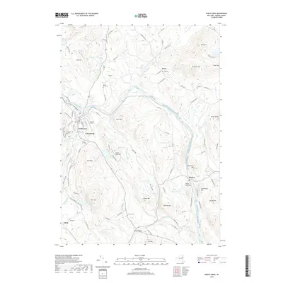
2019 Map of North Creek
USGS Topo · Published 2019About this map
The Hudson River carves a deep path through the southeastern Adirondacks in this Warren County survey, anchoring a landscape where small settlements like North Creek and Riparius follow the river's course. The map details a community fabric defined by family and parish history, visible through numerous burial sites including the Baroudi Family Cem, Saint James Catholic Cem, and Wakley Cem. These sites, often located near early road junctions like those in Wevertown or the small cluster at Sodom, suggest the persistence of lineage in this terrain.
Find a feature on this map
114 named features on this map. Tap any name to fly to it.
Don’t see what you’re looking for? This feature index may not catch every label — zoom into the map to look around manually.
Map Details
Editions of this 2019 North Creek Map
This is the sole edition of this map. No revisions or reprints were ever made.
Other maps of this area

1895 · North Creek
USGS Topo · 1:62,500

1897 · North Creek
USGS Topo · 1:62,500

1897 · Schroon Lake
USGS Topo · 1:62,500

1898 · Newcomb
USGS Topo · 1:62,500

1898 · Thirteenth Lake
USGS Topo · 1:62,500

1901 · Newcomb
USGS Topo · 1:62,500

1950 · Glens Falls
USGS Topo · 1:250,000

1950 · Utica
USGS Topo · 1:250,000

1953 · Schroon Lake
USGS Topo · 1:62,500

1954 · Newcomb
USGS Topo · 1:62,500