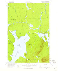
1954 Map of North East Carry
USGS Topo · Published 1960About this map
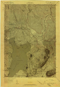
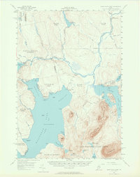
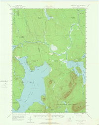
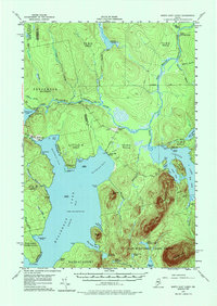
Lake Moosehead North Bay dominates the southern reaches of this Maine timberland survey, where the historic North East Carry portage connects the massive lake to the West Branch Penobscot River. The landscape is a network of logging history and remote outposts, including the Smith Halfway House and Penobscot Farm. Water management for the timber industry is evident through several river controls such as Cassidy Dam, Seboomook Dam, and the Old Roll Dam. The map details the transition from the open waters of Lobster Lake and its distinctive Big Island to the higher elevations of Norcross Mtn and Lobster Mountain. Significant land grants and township boundaries, such as the East Middlesex Canal Grant and Days Academy, illustrate the complex historical property divisions that define this region of the North Woods.
Find a feature on this map
74 named features on this map. Tap any name to fly to it.
Don’t see what you’re looking for? This feature index may not catch every label — zoom into the map to look around manually.
Map Details
Editions of this 1954 North East Carry Map
9 editions found

Other maps of this area

1920 · Moosehead Lake
USGS Topo · 1:62,500

1921 · Brassua Lake
USGS Topo · 1:62,500

1922 · Moosehead Lake
USGS Topo · 1:62,500

1923 · Brassua Lake
USGS Topo · 1:62,500

1930 · Moosehead Lake
USGS Topo · 1:62,500

1944 · Brassua Lake
USGS Topo · 1:62,500

1944 · Moosehead Lake
USGS Topo · 1:62,500

1952 · First Roach Pond
USGS Topo · 1:62,500

1954 · Seboomook Lake
USGS Topo · 1:62,500

1954 · Chesuncook
USGS Topo · 1:62,500
Featured Places
- Tomhegan Township, ME
- Elm Stream Township, ME
- Seboomook Township, ME
- Days Academy Grant Township, ME
- Northeast Carry Township, ME