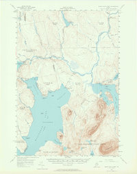
1954 Map of North East Carry
USGS Topo · Published 1965About this map
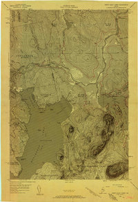
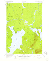
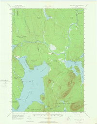
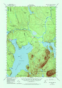
Moosehead Lake dominates the southern landscape of this Maine wilderness survey, where the historic portage at North East Carry links the head of the lake to the West Branch Penobscot River. This region represents a critical junction in the 1950s logging economy, illustrated by the complex network of private roads and jeep trails connecting remote outposts like Smith Halfway House, Penobscot Farm, and Folsom Farm. The transition from natural water levels to managed reservoirs is evident at Seboomook Lake, held by the Seboomook Dam, and further north at Cassidy Dam on the Russell Stream. The map also delineates the precise boundary between Somerset and Piscataquis counties, cutting across a terrain of isolated peaks like Norcross Mtn and Little Spencer Mtn and ancient land divisions such as the East Middlesex Canal Grant.
Find a feature on this map
84 named features on this map. Tap any name to fly to it.
Don’t see what you’re looking for? This feature index may not catch every label — zoom into the map to look around manually.
Map Details
Editions of this 1954 North East Carry Map
9 editions found

Other maps of this area

1920 · Moosehead Lake
USGS Topo · 1:62,500

1921 · Brassua Lake
USGS Topo · 1:62,500

1922 · Moosehead Lake
USGS Topo · 1:62,500

1923 · Brassua Lake
USGS Topo · 1:62,500

1930 · Moosehead Lake
USGS Topo · 1:62,500

1944 · Brassua Lake
USGS Topo · 1:62,500

1944 · Moosehead Lake
USGS Topo · 1:62,500

1952 · First Roach Pond
USGS Topo · 1:62,500

1954 · Seboomook Lake
USGS Topo · 1:62,500

1954 · Chesuncook
USGS Topo · 1:62,500
Featured Places
- Tomhegan Township, ME
- Elm Stream Township, ME
- Seboomook Township, ME
- Days Academy Grant Township, ME
- Northeast Carry Township, ME