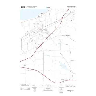
2013 Map of North East
USGS Topo · Published 2013About this map
The northern coast of Erie County meets the waters of Lake Erie in this early twenty-first-century survey of Pennsylvania’s fruit-growing belt. The borough of North East serves as the central hub, surrounded by a landscape defined by significant water management and glacial drainage patterns. Several man-made water bodies including Howard Eaton Reservoir, Grahamville Reservoir, and Smith Reservoir dot the terrain, while the course of Sixteenmile Cr winds northward toward the lakefront. Along the shore, the lakeside communities of Orchard Beach and Freeport mark the transition from the upland agricultural zones to the water's edge.
Find a feature on this map
118 named features on this map. Tap any name to fly to it.
Don’t see what you’re looking for? This feature index may not catch every label — zoom into the map to look around manually.
Map Details
Editions of this 2013 North East Map
This is the sole edition of this map. No revisions or reprints were ever made.
Other maps of this area

1899 · Westfield
USGS Topo · 1:62,500

1905 · Clymer
USGS Topo · 1:62,500

1913 · North East
USGS Topo · 1:62,500

1915 · North East
USGS Topo · 1:62,500

1939 · Clymer
USGS Topo · 1:62,500

1941 · Clymer
USGS Topo · 1:62,500

1943 · North East
USGS Topo · 1:62,500

1954 · South Ripley
USGS Topo · 1:24,000

1954 · Ripley
USGS Topo · 1:24,000
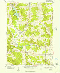
1954 · Clymer
USGS Topo · 1:24,000