
1954 Map of South Ripley
USGS Topo · Published 1956About this map
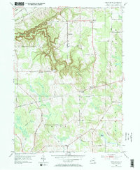
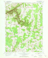
Gage Gulf carves a dramatic corridor through the northwestern corner of this Chautauqua County landscape, where the plateau drops toward the Lake Erie basin. The mid-1950s terrain is defined by a dense network of country roads named for local families, including Philips Road, Loomis Rd, and Sinden Road, connecting small farming hamlets like Wattlesburg and Lombard. The railroad infrastructure of the era is prominent in the north, with the N Y C & S T L RR and Erie RR cutting across the upland.
Find a feature on this map
53 named features on this map. Tap any name to fly to it.
Don’t see what you’re looking for? This feature index may not catch every label — zoom into the map to look around manually.
Map Details
Editions of this 1954 South Ripley Map
3 editions found
Other maps of this area

1899 · Westfield
USGS Topo · 1:62,500

1905 · Clymer
USGS Topo · 1:62,500

1913 · North East
USGS Topo · 1:62,500

1915 · North East
USGS Topo · 1:62,500

1939 · Clymer
USGS Topo · 1:62,500

1941 · Clymer
USGS Topo · 1:62,500

1943 · North East
USGS Topo · 1:62,500

1954 · Ripley
USGS Topo · 1:24,000
1954 · Clymer
USGS Topo · 1:24,000
1954 · North Clymer
USGS Topo · 1:24,000