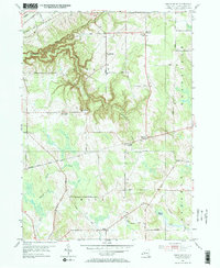
1954 Map of South Ripley
USGS Topo · Published 1972About this map
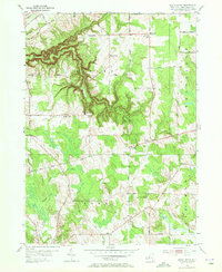
Twentymile Creek carves a deep path through the northwestern corner of this Chautauqua County terrain, creating the dramatic relief of Gage Gulf just south of the N Y C & St L RR line. This mid-century survey captures a rural landscape defined by township boundaries and small farming hubs, with the crossroads of South Ripley at its center. The area's social fabric is anchored by the South Ripley Ch and the southern settlement of Mina, located near the Mina Cem.
Find a feature on this map
52 named features on this map. Tap any name to fly to it.
Don’t see what you’re looking for? This feature index may not catch every label — zoom into the map to look around manually.
Map Details
Editions of this 1954 South Ripley Map
3 editions found
Other maps of this area

1899 · Westfield
USGS Topo · 1:62,500

1905 · Clymer
USGS Topo · 1:62,500

1913 · North East
USGS Topo · 1:62,500

1915 · North East
USGS Topo · 1:62,500

1939 · Clymer
USGS Topo · 1:62,500

1941 · Clymer
USGS Topo · 1:62,500

1943 · North East
USGS Topo · 1:62,500

1954 · South Ripley
USGS Topo · 1:24,000

1954 · Ripley
USGS Topo · 1:24,000
1954 · Clymer
USGS Topo · 1:24,000