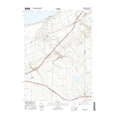
2016 Map of North East
USGS Topo · Published 2016About this map
Lake Erie defines the northern edge of this landscape, where the shoreline transition from the waters of the Great Lakes into the fruit-growing region of Erie County. The borough of North East serves as the central hub, surrounded by a grid of rural roads and orchards that extend toward the state line. Notable for genealogists are several burial grounds, including Oak Hill Cem on the western outskirts and the Northville Cem situated right at the boundary between Pennsylvania and New York.
Find a feature on this map
89 named features on this map. Tap any name to fly to it.
Don’t see what you’re looking for? This feature index may not catch every label — zoom into the map to look around manually.
Map Details
Editions of this 2016 North East Map
This is the sole edition of this map. No revisions or reprints were ever made.
Other maps of this area

1899 · Westfield
USGS Topo · 1:62,500

1905 · Clymer
USGS Topo · 1:62,500

1913 · North East
USGS Topo · 1:62,500

1915 · North East
USGS Topo · 1:62,500

1939 · Clymer
USGS Topo · 1:62,500

1941 · Clymer
USGS Topo · 1:62,500

1943 · North East
USGS Topo · 1:62,500

1954 · South Ripley
USGS Topo · 1:24,000

1954 · Ripley
USGS Topo · 1:24,000
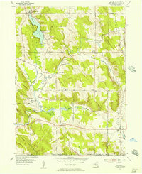
1954 · Clymer
USGS Topo · 1:24,000