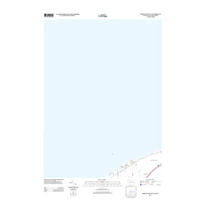
2013 Map of North East OE N
USGS Topo · Published 2013About this map
The expansive waters of Lake Erie dominate this coastal survey, which captures a narrow strip of the shoreline where the Pennsylvania and New York borders converge. The landscape is primarily defined by its recreational and residential proximity to the lake, featuring the North East Marina and the extensive grounds of the Lakeside Golf Course. Roads such as Lake Shore Dr and Riverside Dr trace the lakefront, indicating a developed residential character that follows the natural curve of the shoreline. This 2013 snapshot shows a modern transport and leisure infrastructure, where secondary routes like N Hammond Rd and Old Lake Rd provide access to the waterfront and the surrounding Chautauqua County area.
Find a feature on this map
14 named features on this map. Tap any name to fly to it.
Don’t see what you’re looking for? This feature index may not catch every label — zoom into the map to look around manually.
Map Details
Editions of this 2013 North East OE N Map
This is the sole edition of this map. No revisions or reprints were ever made.
Other maps of this area

1899 · Westfield
USGS Topo · 1:62,500

1905 · Clymer
USGS Topo · 1:62,500

1913 · North East
USGS Topo · 1:62,500

1915 · North East
USGS Topo · 1:62,500

1939 · Clymer
USGS Topo · 1:62,500

1941 · Clymer
USGS Topo · 1:62,500

1943 · North East
USGS Topo · 1:62,500

1954 · South Ripley
USGS Topo · 1:24,000

1954 · Ripley
USGS Topo · 1:24,000

1960 · Buffalo
USGS Topo · 1:250,000