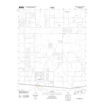
2012 Map of North Edwards
USGS Topo · Published 2012About this map
North Edwards and the adjacent Aerial Acres anchor this desert landscape, characterized by an extensive grid of planned residential streets. In the early 21st century, these settlements exhibit a distinctive layout of long boulevards like Sequoia Blvd and Joshua Blvd stretching across the Peerless Valley. While some areas show dense residential development, much of the grid, including streets like Dust Devil Ave and Desert View Ave, suggests planned expansion in the arid Kern County terrain. To the north, the margins of California City appear, while the Thundering Herd Ranch occupies a pocket of rural land amidst the survey lines. The street names, ranging from Rosewood Blvd to Forest Blvd, reflect a suburban design grafted onto the Mojave landscape, illustrating the specific patterns of high-desert land subdivision.
Find a feature on this map
51 named features on this map. Tap any name to fly to it.
Don’t see what you’re looking for? This feature index may not catch every label — zoom into the map to look around manually.
Map Details
Editions of this 2012 North Edwards Map
This is the sole edition of this map. No revisions or reprints were ever made.
Other maps of this area

1915 · Searles Lake
USGS Topo · 1:250,000

1937 · Kramer
USGS Topo · 1:48,000

1937 · Rogers Lake
USGS Topo · 1:48,000

1942 · Kramer
USGS Topo · 1:62,500

1942 · Rogers Lake
USGS Topo · 1:62,500

1943 · Castle Butte
USGS Topo · 1:62,500

1947 · Fluhr
USGS Topo · 1:24,000

1947 · Castle Butte
USGS Topo · 1:50,000

1947 · Rich
USGS Topo · 1:24,000

1947 · Desert Butte
USGS Topo · 1:24,000