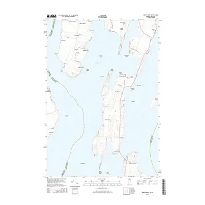
2015 Map of North Hero
USGS Topo · Published 2015About this map
Isle La Motte stands as a prominent feature within the northern reaches of Lake Champlain, where the island's landscape is defined by a mix of residential roads and agricultural tracts. This 2015 survey by the U.S. Geological Survey illustrates the enduring rural character of this island community, showing a settlement pattern that respects the undulating shoreline and interior drainage. The map provides precise topographic data that helps researchers understand the relationship between the island's elevation and its historical land use, particularly in how roads follow the natural contours of the land. It serves as a clear digital-era record of the island's infrastructure and geographical boundaries in the early 21st century.
Find a feature on this map
1 named feature on this map. Tap any name to fly to it.
Don’t see what you’re looking for? This feature index may not catch every label — zoom into the map to look around manually.
Map Details
Editions of this 2015 North Hero Map
This is the sole edition of this map. No revisions or reprints were ever made.
Other maps of this area

1894 · Plattsburg
USGS Topo · 1:62,500

1895 · Rouse Point
USGS Topo · 1:62,500

1906 · Plattsburg
USGS Topo · 1:62,500

1907 · Rouse Point
USGS Topo · 1:62,500

1913 · Milton
USGS Topo · 1:48,000

1914 · St. Albans
USGS Topo · 1:48,000

1915 · Milton
USGS Topo · 1:62,500

1916 · St. Albans
USGS Topo · 1:62,500

1939 · Rouses Point
USGS Topo · 1:62,500

1939 · Plattsburg
USGS Topo · 1:62,500