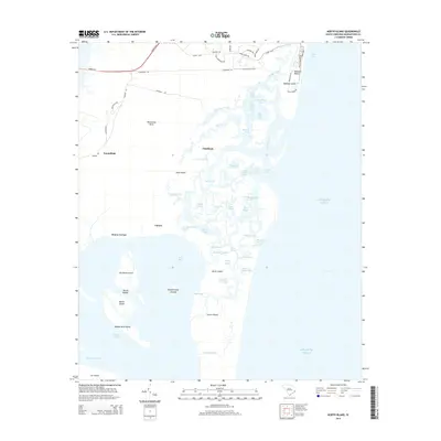
2014 Map of North Island
USGS Topo · Published 2014About this map
Waccamaw Neck and the intricate marshlands of the North Inlet define this coastal landscape, where high ground transitions into a complex network of tidal channels and barrier islands. On the northern shore, the residential development of Debidue Beach and Debidue Island sits between the Atlantic Ocean and the meandering Debidue Creek. Moving inland across the neck, small named settlements like Clambank, Caines, Denny Corner, and Friendfield are connected by local routes such as Crabhall Rd and Hobcaw Rd.
Find a feature on this map
72 named features on this map. Tap any name to fly to it.
Don’t see what you’re looking for? This feature index may not catch every label — zoom into the map to look around manually.
Map Details
Editions of this 2014 North Island Map
This is the sole edition of this map. No revisions or reprints were ever made.
Other maps of this area

1942 · Santee Point
USGS Topo · 1:24,000

1942 · North Island
USGS Topo · 1:24,000

1942 · Magnolia Beach
USGS Topo · 1:24,000

1942 · Waverly Mills
USGS Topo · 1:24,000

1943 · Georgetown North
USGS Topo · 1:24,000

1943 · Minim Island
USGS Topo · 1:24,000

1943 · Georgetown South
USGS Topo · 1:24,000

1947 · Georgetown South
USGS Topo · 1:24,000

1949 · Georgetown
USGS Topo · 1:250,000

1967 · Georgetown
USGS Topo · 1:250,000