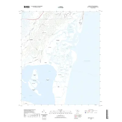
2020 Map of North Island
USGS Topo · Published 2020About this map
Waccamaw Neck and the barrier system of Debidue Island anchor this coastal landscape, where the Waccamaw River meets the Intracoastal Waterway. The geography is defined by an intricate network of tidal passages such as Debidue Creek, Old Man Creek, and No Mans Friend Creek, which carve through the marshes surrounding Goat Island and Pumpkinseed Islands.
Find a feature on this map
82 named features on this map. Tap any name to fly to it.
Don’t see what you’re looking for? This feature index may not catch every label — zoom into the map to look around manually.
Map Details
Editions of this 2020 North Island Map
This is the sole edition of this map. No revisions or reprints were ever made.
Other maps of this area

1942 · Santee Point
USGS Topo · 1:24,000

1942 · North Island
USGS Topo · 1:24,000

1942 · Magnolia Beach
USGS Topo · 1:24,000

1942 · Waverly Mills
USGS Topo · 1:24,000

1943 · Georgetown North
USGS Topo · 1:24,000

1943 · Minim Island
USGS Topo · 1:24,000

1943 · Georgetown South
USGS Topo · 1:24,000

1947 · Georgetown South
USGS Topo · 1:24,000

1949 · Georgetown
USGS Topo · 1:250,000

1967 · Georgetown
USGS Topo · 1:250,000