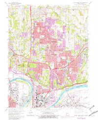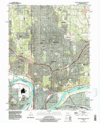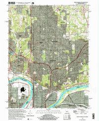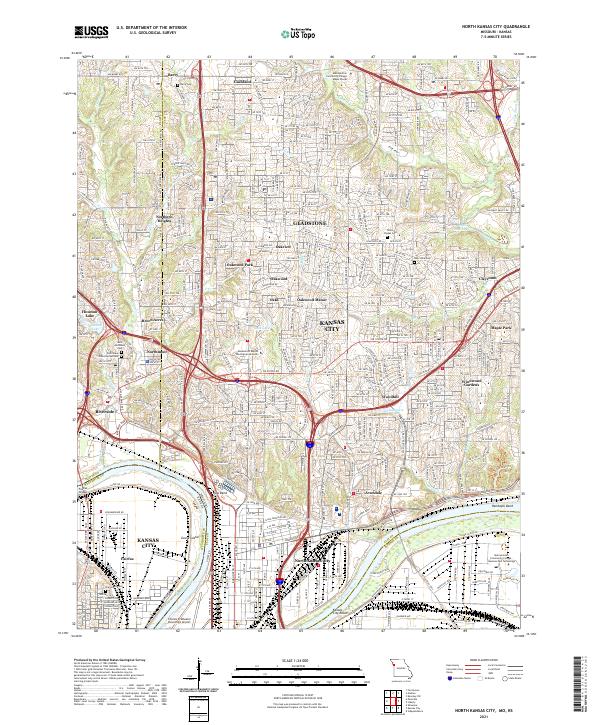
2021 Map of North Kansas City
USGS Topo · Published 2021About this map
The Missouri River carves a massive arc through the center of this landscape, defining the industrial and geographic boundaries between Kansas City and its northern neighbors. The river's influence is evident at Kaw Bend and Randolph Bend, where heavy infrastructure like the Fairfax Bridge and the Charles B Wheeler Downtown Airport occupy the low-lying plains. To the north, the terrain transitions into a dense network of suburban developments and incorporated areas, including North Kansas City, Gladstone, and Riverside.
Find a feature on this map
159 named features on this map. Tap any name to fly to it.
Don’t see what you’re looking for? This feature index may not catch every label — zoom into the map to look around manually.
Map Details
Editions of this 2021 North Kansas City Map
This is the sole edition of this map. No revisions or reprints were ever made.
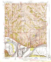
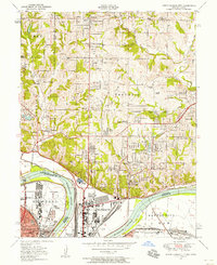
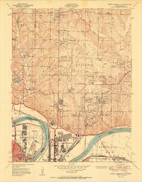
Historical Maps of Kansas City Through Time
8 maps found