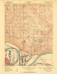
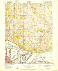
1951 Map of North Kansas City
USGS Topo · Published 1951About this map
The Missouri River and Kaw rivers dominate this 1951 landscape, serving as the industrial and transport backbone for the burgeoning suburbs north of the city. While the core of North Kansas City shows a dense grid of development, the surrounding hills in Gallatin and Pettis townships are characterized by mid-century residential expansion in areas like Winnwood Gardens and Broadview Acres. Aviation history is prominent on this sheet, featuring both the Fairfax Airport on the Kansas side and the Kansas City Airport positioned near the river's bend.
Find a feature on this map
76 named features on this map. Tap any name to fly to it.
Don’t see what you’re looking for? This feature index may not catch every label — zoom into the map to look around manually.
Map Details
Editions of this 1951 North Kansas City Map
2 editions found
Other maps of this area

1890 · Kansas City
USGS Topo · 1:125,000

1894 · Kansas City
USGS Topo · 1:125,000

1894 · Independence
USGS Topo · 1:125,000

1914 · Smithville
USGS Topo · 1:62,500

1934 · Independence
USGS Topo · 1:24,000

1934 · Shawnee
USGS Topo · 1:24,000

1935 · Kansas City
USGS Topo · 1:24,000

1935 · North Kansas City
USGS Topo · 1:24,000

1935 · Liberty
USGS Topo · 1:24,000

1936 · Kearney
USGS Topo · 1:48,000