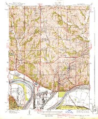
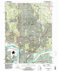
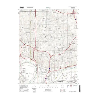
1940 Map of North Kansas City
USGS Topo · Published 1940About this map
North Kansas City and the industrial corridors of the Missouri River define this 1930s landscape, illustrating a period of rapid development north of the city center. The map reveals a dense network of transit and industry, featuring the Chicago Burlington and Quincy and Wabash railroads alongside major early aviation sites like Fairfax Airport and Kansas City Airport. Beyond the urban core, the terrain transitions into the rolling hills of Gallatin and May townships, where small communities such as Gashland and Linden are established near local landmarks like Winnwood Lake.
Find a feature on this map
61 named features on this map. Tap any name to fly to it.
Don’t see what you’re looking for? This feature index may not catch every label — zoom into the map to look around manually.
Map Details
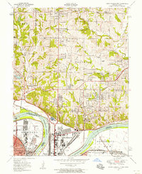
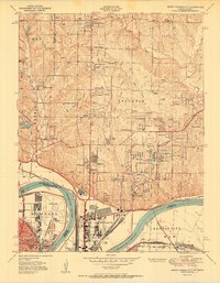
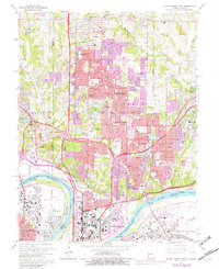
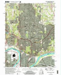
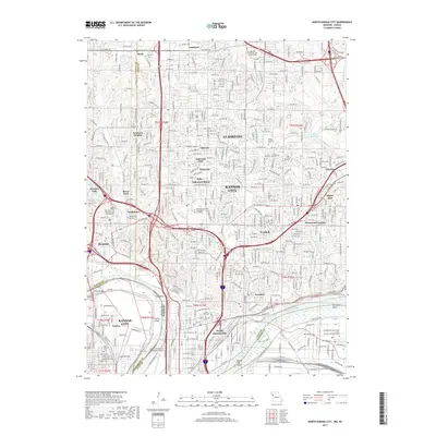
Editions of this 1940 North Kansas City Map
2 editions found

Historical Maps of Kansas City Through Time
12 maps found

1935 North Kansas City
Clay County, MO
1940 North Kansas City
Clay County, MO
1948 North Kansas City
Clay County, MO
1951 North Kansas City
Clay County, MO
1964 North Kansas City
Clay County, MO
1990 North Kansas City
Clay County, MO
1997 North Kansas City
Clay County, MO
2009 North Kansas City
Clay County, MO
2012 North Kansas City
Clay County, MO
2015 North Kansas City
Clay County, MO
2017 North Kansas City
Clay County, MO
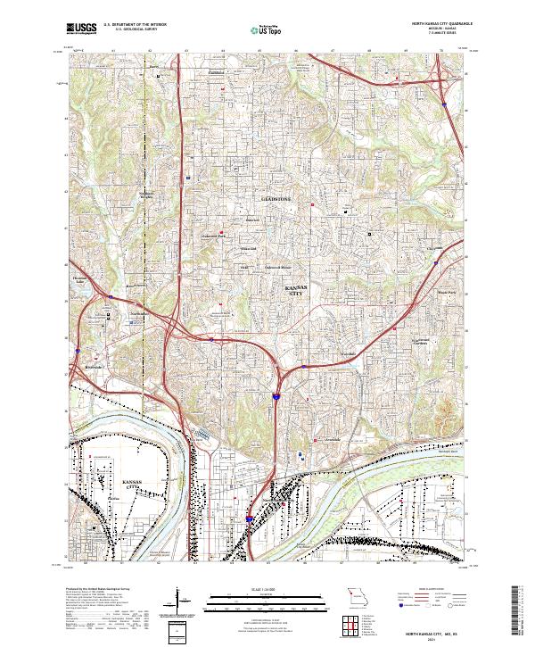
2021 North Kansas City
Clay County, MO