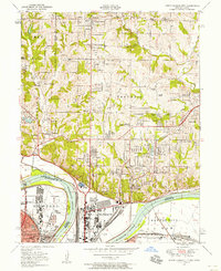
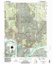
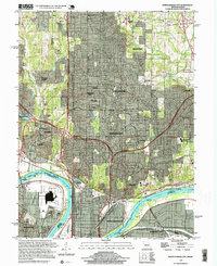
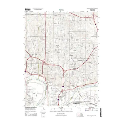
1948 Map of North Kansas City
USGS Topo · Published 1958About this map
The Missouri River defines the lower boundary of this post-war landscape, acting as the border between Kansas and Missouri. This industrial and transport hub is anchored by North Kansas City and the historic settlement of Quindaro, showcasing a dense network of major rail lines like the Chicago Burlington and Quincy and the Union Pacific. The presence of both Fairfax Airport and the Kansas City Airport underscore the area's significance as a burgeoning center for mid-century aviation and logistics.
Find a feature on this map
72 named features on this map. Tap any name to fly to it.
Don’t see what you’re looking for? This feature index may not catch every label — zoom into the map to look around manually.
Map Details
Editions of this 1948 North Kansas City Map
This is the sole edition of this map. No revisions or reprints were ever made.
Historical Maps of Kansas City Through Time
12 maps found

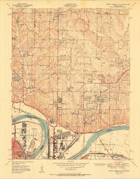
1935 North Kansas City
Clay County, MO
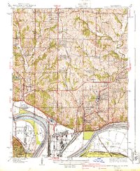
1940 North Kansas City
Clay County, MO
1948 North Kansas City
Clay County, MO
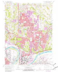
1951 North Kansas City
Clay County, MO
1964 North Kansas City
Clay County, MO
1990 North Kansas City
Clay County, MO
1997 North Kansas City
Clay County, MO
2009 North Kansas City
Clay County, MO
2012 North Kansas City
Clay County, MO
2015 North Kansas City
Clay County, MO
2017 North Kansas City
Clay County, MO
2021 North Kansas City
Clay County, MO