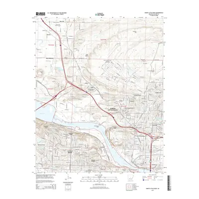
2014 Map of North Little Rock
USGS Topo · Published 2014About this map
The Arkansas River serves as the central artery of this region, dividing the urban landscapes of Little Rock and North Little Rock while shaping the local geography at Greathouse Bend. The map illustrates a dense network of suburban developments and established neighborhoods such as Cammack Village, Pulaski Heights, and Levy, juxtaposed with significant aviation and military infrastructure like the Robinson Army Airfield / National Guard Airport and the Little Rock Municipal Airport.
Find a feature on this map
72 named features on this map. Tap any name to fly to it.
Don’t see what you’re looking for? This feature index may not catch every label — zoom into the map to look around manually.
Map Details
Editions of this 2014 North Little Rock Map
This is the sole edition of this map. No revisions or reprints were ever made.
Other maps of this area

1891 · Little Rock
USGS Topo · 1:125,000

1893 · Little Rock
USGS Topo · 1:125,000
1935 · Mc Almont
USGS Topo · 1:24,000
1935 · Little Rock
USGS Topo · 1:24,000
1935 · Sweet Home
USGS Topo · 1:24,000
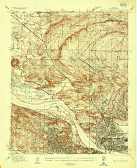
1935 · North Little Rock
USGS Topo · 1:24,000
1935 · Alexander
USGS Topo · 1:48,000
1941 · Alexander
USGS Topo · 1:62,500
1941 · Olmstead
USGS Topo · 1:31,680
1943 · Pinnacle Mtn
USGS Topo · 1:31,680