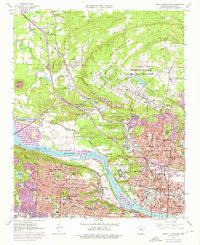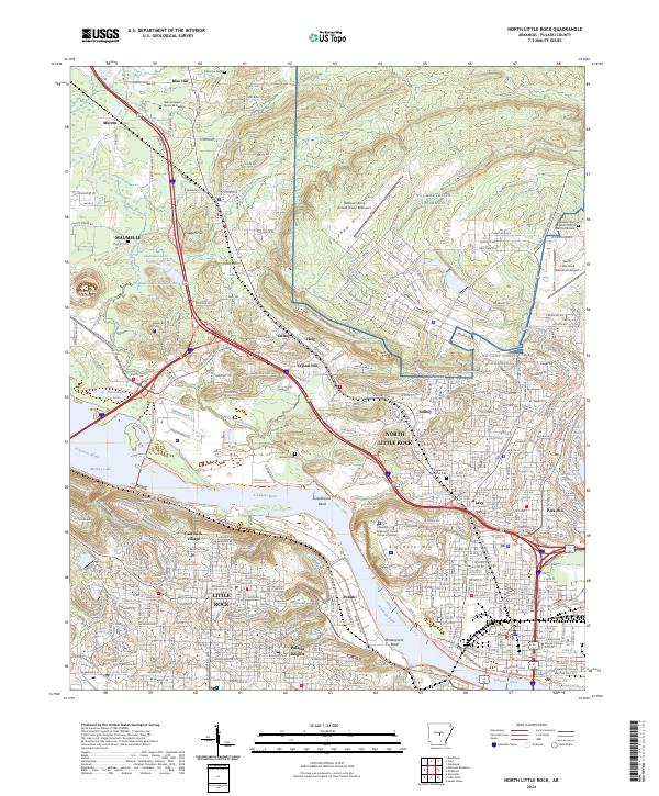
2024 Map of North Little Rock
USGS Topo · Published 2024About this map
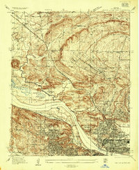
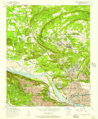
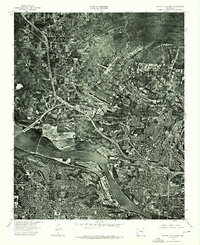
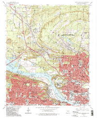
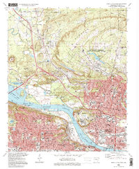
NG Camp Joseph T Robinson dominates the northern landscape of this Pulaski County region, where the industrial and military presence of North Little Rock meets the residential heights of Little Rock. The Arkansas River serves as the central artery, winding through Greathouse Bend and Waterworks Bend, with the Central Arkansas River Trl tracing its banks. This modern survey illustrates the urban complexity of the state capital, showing established neighborhoods like Park Hill, Levy, and Pulaski Heights.
Find a feature on this map
73 named features on this map. Tap any name to fly to it.
Don’t see what you’re looking for? This feature index may not catch every label — zoom into the map to look around manually.
Map Details
Editions of this 2024 North Little Rock Map
This is the sole edition of this map. No revisions or reprints were ever made.
Historical Maps of Amboy Through Time
7 maps found