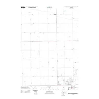
2013 Map of North Manchester North
USGS Topo · Published 2013About this map
North Manchester anchors the southern edge of this landscape, situated at a bend in the Eel River. This 2013 survey illustrates the interface between the growing residential streets of Briarwood and the expansive agricultural lands of Kosciusko and Wabash Counties. The northern half of the map is defined by a complex drainage system, where Trimble Creek, Plunge Creek, and the winding Swank Creek meander through fields. Small, localized landmarks like Beigh Lake and the Peabody Memorial Home provide specific points of interest for local researchers. The transition from the rural crossroads at Packerton to the organized town grid in the south highlights the persistent importance of early transportation routes, such as S Packerton Rd, which link these small agricultural hubs to the larger riverfront community.
Find a feature on this map
75 named features on this map. Tap any name to fly to it.
Don’t see what you’re looking for? This feature index may not catch every label — zoom into the map to look around manually.
Map Details
Editions of this 2013 North Manchester North Map
This is the sole edition of this map. No revisions or reprints were ever made.
Other maps of this area

1950 · Pierceton
USGS Topo · 1:24,000

1953 · Fort Wayne
USGS Topo · 1:250,000

1953 · Muncie
USGS Topo · 1:250,000

1956 · Muncie
USGS Topo · 1:250,000

1956 · Fort Wayne
USGS Topo · 1:250,000

1957 · Warsaw
USGS Topo · 1:24,000

1961 · Silver Lake
USGS Topo · 1:24,000

1961 · Roann
USGS Topo · 1:24,000
1961 · Servia
USGS Topo · 1:24,000
1961 · North Manchester South
USGS Topo · 1:24,000