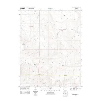
2013 Map of North Mountain
USGS Topo · Published 2013About this map
North Mountain anchors a high-elevation landscape along the border of San Miguel and Dolores counties, where water management and seasonal livestock camps define the land use. The presence of Desert Claim, Jensens Cow Camp, and Davis Sheep Camp speaks to a history of high-country ranching and grazing. Complex irrigation efforts are visible through the Desert Claim Ditch and the Lilylands Canal, which move water across the plateau to sustain agricultural efforts in this arid environment.
Find a feature on this map
40 named features on this map. Tap any name to fly to it.
Don’t see what you’re looking for? This feature index may not catch every label — zoom into the map to look around manually.
Map Details
Editions of this 2013 North Mountain Map
This is the sole edition of this map. No revisions or reprints were ever made.
Other maps of this area

1916 · Paradox Valley
USGS Topo · 1:125,000

1922 · Paradox Valley
USGS Topo · 1:125,000

1956 · Cortez
USGS Topo · 1:250,000

1956 · Moab
USGS Topo · 1:250,000

1958 · Cortez
USGS Topo · 1:250,000

1959 · Cortez
USGS Topo · 1:250,000

1959 · Moab
USGS Topo · 1:250,000

1960 · Moab
USGS Topo · 1:250,000

1962 · Moab
USGS Topo · 1:250,000

1962 · Cortez
USGS Topo · 1:250,000