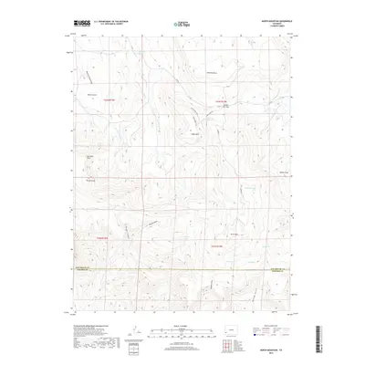
2019 Map of North Mountain
USGS Topo · Published 2019About this map
Hamilton Mesa and Island Mesa define the high terrain of this Colorado landscape, where a network of dry washes and canyons carve through the plateau. Water management is a central theme of the geography, evidenced by the Lillylands Canal and the Desert Claim Ditch which trace the contours of the land. High-elevation basins collect into several named water bodies including Spencer Lake, Galloway Lake, and Bull Lake, suggesting seasonal importance for livestock or irrigation in this arid environment.
Find a feature on this map
34 named features on this map. Tap any name to fly to it.
Don’t see what you’re looking for? This feature index may not catch every label — zoom into the map to look around manually.
Map Details
Editions of this 2019 North Mountain Map
This is the sole edition of this map. No revisions or reprints were ever made.
Other maps of this area

1916 · Paradox Valley
USGS Topo · 1:125,000

1922 · Paradox Valley
USGS Topo · 1:125,000

1956 · Cortez
USGS Topo · 1:250,000

1956 · Moab
USGS Topo · 1:250,000

1958 · Cortez
USGS Topo · 1:250,000

1959 · Cortez
USGS Topo · 1:250,000

1959 · Moab
USGS Topo · 1:250,000

1960 · Moab
USGS Topo · 1:250,000

1962 · Moab
USGS Topo · 1:250,000

1962 · Cortez
USGS Topo · 1:250,000