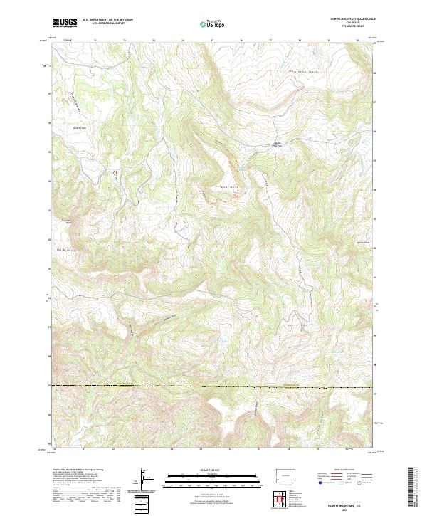
2022 Map of North Mountain
USGS Topo · Published 2022About this map
High mesas and intricate water management systems characterize this portion of the San Miguel and Dolores county line. Island Mesa and Hamilton Mesa dominate the northern terrain, while the southern reaches are marked by the prominent peak of North Mountain. The landscape reveals a history of ranching and water rights, evidenced by the Desert Claim Ditch and the Lilylands Canal winding through the draws. Local movement is dictated by the high-elevation topography, centered on landmarks like Sandys Fort Pass and the nearby Sandys Fort Spring. Deep drainages such as Knight Canyon and Willow Gulch cut through the plateaus, leading toward numerous small upland bodies of water including Galloway Lake, Spencer Lake, and Bull Lake. This terrain, while appearing desolate under names like Desert Claim, is clearly structured by the necessity of moving water across the arid basins and around the high points of The Butterfly and Lavender Point.
Find a feature on this map
35 named features on this map. Tap any name to fly to it.
Don’t see what you’re looking for? This feature index may not catch every label — zoom into the map to look around manually.
Map Details
Editions of this 2022 North Mountain Map
This is the sole edition of this map. No revisions or reprints were ever made.
Other maps of this area

1916 · Paradox Valley
USGS Topo · 1:125,000

1922 · Paradox Valley
USGS Topo · 1:125,000

1956 · Cortez
USGS Topo · 1:250,000

1956 · Moab
USGS Topo · 1:250,000

1958 · Cortez
USGS Topo · 1:250,000

1959 · Cortez
USGS Topo · 1:250,000

1959 · Moab
USGS Topo · 1:250,000

1960 · Moab
USGS Topo · 1:250,000

1962 · Moab
USGS Topo · 1:250,000

1962 · Cortez
USGS Topo · 1:250,000