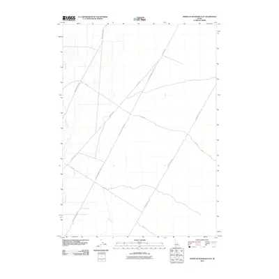
2010 Map of North of Ryegrass Flat
USGS Topo · Published 2010About this map
Big Lost River meanders through this arid landscape in Butte County, defining the hydrology of an area dominated by a strict grid of administrative and utility corridors. The map reveals a network of long, straight transit lines typical of high-desert infrastructure, including the prominent Lincoln Blvd and Center Monument Line Rd which intersect the terrain at sharp diagonals. These routes, along with W Monument Line Rd and E Monument Line Rd, suggest a landscape organized for systematic land management or large-scale utility access rather than traditional residential settlement. The absence of named towns emphasizes the utilitarian nature of the road network, which serves the open spaces between the mountains and the river's path. Local transit is further defined by secondary routes such as Shell Rd and 7 Mile Rd, which provide access to this corner of the Snake River Plain.
Find a feature on this map
7 named features on this map. Tap any name to fly to it.
Don’t see what you’re looking for? This feature index may not catch every label — zoom into the map to look around manually.
Map Details
Editions of this 2010 North of Ryegrass Flat Map
This is the sole edition of this map. No revisions or reprints were ever made.
Other maps of this area

1955 · Idaho Falls
USGS Topo · 1:250,000

1958 · Idaho Falls
USGS Topo · 1:250,000

1969 · Little Lost River Sinks
USGS Topo · 1:24,000

1969 · Circular Butte
USGS Topo · 1:24,000

1969 · Big Lost River Sinks
USGS Topo · 1:24,000

1973 · Little Butte NW
USGS Topo · 1:24,000

1973 · Circular Butte 3 NE
USGS Topo · 1:24,000

1973 · Circular Butte 3 SW
USGS Topo · 1:24,000

1973 · Circular Butte 3 SE
USGS Topo · 1:24,000

1973 · Little Butte SW
USGS Topo · 1:24,000