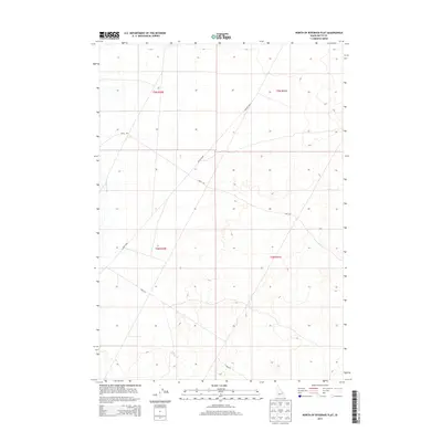
2013 Map of North of Ryegrass Flat
USGS Topo · Published 2013About this map
Big Lost River flows through this arid Butte County landscape, defining the western edge of a region marked by extensive desert tracks and section lines. The terrain is sparsely settled, with the map recording the utilitarian infrastructure of the early 21st century. Significant thoroughfares like Lincoln Blvd and Shell Rd cut diagonally across the survey area, suggesting the primary corridors of movement through the sagebrush-covered plains. The presence of 7 Mile Rd further indicates the systematic division of the land under the Public Land Survey System, specifically within the townships of t5n r30e, t5n r31e, t4n r30e, and t4n r31e. This cartographic record provides a precise look at the hydrology and road network of the High Desert before subsequent shifts in water management or land use.
Find a feature on this map
8 named features on this map. Tap any name to fly to it.
Don’t see what you’re looking for? This feature index may not catch every label — zoom into the map to look around manually.
Map Details
Editions of this 2013 North of Ryegrass Flat Map
This is the sole edition of this map. No revisions or reprints were ever made.
Other maps of this area
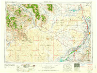
1955 · Idaho Falls
USGS Topo · 1:250,000
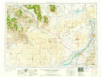
1958 · Idaho Falls
USGS Topo · 1:250,000
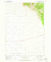
1969 · Little Lost River Sinks
USGS Topo · 1:24,000
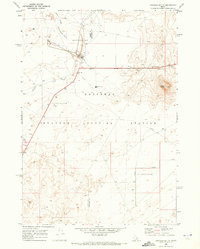
1969 · Circular Butte
USGS Topo · 1:24,000
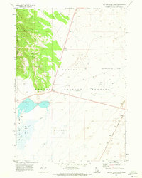
1969 · Big Lost River Sinks
USGS Topo · 1:24,000
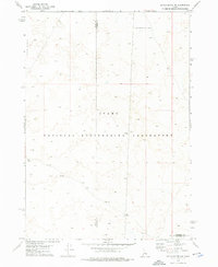
1973 · Little Butte NW
USGS Topo · 1:24,000
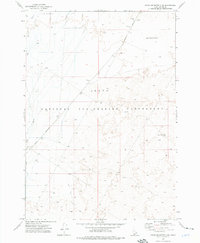
1973 · Circular Butte 3 NE
USGS Topo · 1:24,000
1973 · Circular Butte 3 SW
USGS Topo · 1:24,000
1973 · Circular Butte 3 SE
USGS Topo · 1:24,000
1973 · Little Butte SW
USGS Topo · 1:24,000