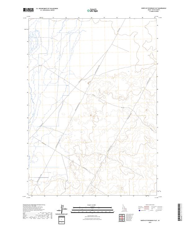
2023 Map of North of Ryegrass Flat
USGS Topo · Published 2023About this map
Big Lost River meanders through the western portion of this Butte County landscape, defining the local hydrology in a region characterized by its distinct surveying lines and infrastructure. The map detail highlights a network of transit corridors including Lincoln Blvd and Seven Mile Rd, which cut across the Public Land Survey System grids of t5n r30e and t4n r31e. This modern survey illustrates the persistent geometry of the high desert, where named thoroughfares like Center Monument Line Rd and E Monument Line Rd serve as critical landmarks in an otherwise open terrain. The lack of concentrated settlements emphasizes the area's utility for transit and natural resource management, with Shell Rd providing access to the interior sections of the river valley.
Find a feature on this map
10 named features on this map. Tap any name to fly to it.
Don’t see what you’re looking for? This feature index may not catch every label — zoom into the map to look around manually.
Map Details
Editions of this 2023 North of Ryegrass Flat Map
This is the sole edition of this map. No revisions or reprints were ever made.
Other maps of this area

1955 · Idaho Falls
USGS Topo · 1:250,000

1958 · Idaho Falls
USGS Topo · 1:250,000

1969 · Little Lost River Sinks
USGS Topo · 1:24,000

1969 · Circular Butte
USGS Topo · 1:24,000

1969 · Big Lost River Sinks
USGS Topo · 1:24,000

1973 · Little Butte NW
USGS Topo · 1:24,000

1973 · Circular Butte 3 NE
USGS Topo · 1:24,000

1973 · Circular Butte 3 SW
USGS Topo · 1:24,000

1973 · Circular Butte 3 SE
USGS Topo · 1:24,000

1973 · Little Butte SW
USGS Topo · 1:24,000