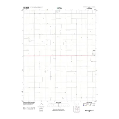
2009 Map of North of Satanta
USGS Topo · Published 2009About this map
Haskell Cemetery sits as a lonely landmark within the strictly gridded agricultural landscape of Haskell County. The terrain is defined by an uncompromising network of section-line roads, such as Co Rd 90 and Co Rd 170, which partition the High Plains into a repetitive pattern of vast fields. This 2009 survey by the U.S. Geological Survey reflects the industrialized nature of modern Kansas farming, where the occasional homestead or farm building is the only break in the geometric regularity. Vertical road arteries like Co Rd Hh, Co Rd Ii, and Co RD LL facilitate the movement of equipment across this production-focused landscape. The relative lack of natural water features or varied topography underscores the human-engineered transformation of the prairie into a highly efficient agricultural grid.
Find a feature on this map
14 named features on this map. Tap any name to fly to it.
Don’t see what you’re looking for? This feature index may not catch every label — zoom into the map to look around manually.
Map Details
Editions of this 2009 North of Satanta Map
This is the sole edition of this map. No revisions or reprints were ever made.
Other maps of this area

1891 · Larned
USGS Topo · 1:125,000

1896 · Garden
USGS Topo · 1:125,000

1900 · Lakin
USGS Topo · 1:125,000

1944 · Moscow
USGS Topo · 1:62,500

1945 · Moscow
USGS Topo · 1:62,500

1955 · Dodge City
USGS Topo · 1:250,000

1958 · Dodge City
USGS Topo · 1:250,000

1959 · Dodge City
USGS Topo · 1:250,000

1959 · Garden City 3 NW
USGS Topo · 1:24,000

1959 · Hickok NE
USGS Topo · 1:24,000