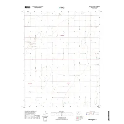
2018 Map of North of Satanta
USGS Topo · Published 2018About this map
The high plains of Haskell County are defined here by a precise grid of section lines and gravel roads, reflecting the systematic agricultural development of western Kansas. This 2018 survey centers on a largely rural landscape north of the town of Satanta, where the primary infrastructure consists of county roads such as Co Rd 110 and Co Rd 120. A central artery, Highway 160, bisects the quadrangle, serving as the main east-west corridor for the region's transport. Genealogy researchers will find the Haskell Cem in the eastern portion of the map, a key landmark in an area otherwise characterized by scattered farmsteads and agricultural basins. The land is partitioned into distinct townships, including t28s r33w and t29s r34w, illustrating the enduring legacy of the Public Land Survey System in organizing this Kansas prairie.
Find a feature on this map
21 named features on this map. Tap any name to fly to it.
Don’t see what you’re looking for? This feature index may not catch every label — zoom into the map to look around manually.
Map Details
Editions of this 2018 North of Satanta Map
This is the sole edition of this map. No revisions or reprints were ever made.
Other maps of this area
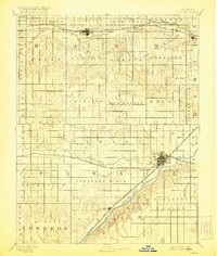
1891 · Larned
USGS Topo · 1:125,000
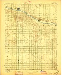
1896 · Garden
USGS Topo · 1:125,000
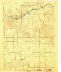
1900 · Lakin
USGS Topo · 1:125,000
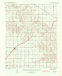
1944 · Moscow
USGS Topo · 1:62,500
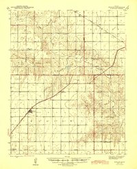
1945 · Moscow
USGS Topo · 1:62,500

1955 · Dodge City
USGS Topo · 1:250,000

1958 · Dodge City
USGS Topo · 1:250,000

1959 · Dodge City
USGS Topo · 1:250,000
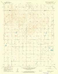
1959 · Garden City 3 NW
USGS Topo · 1:24,000
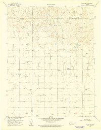
1959 · Hickok NE
USGS Topo · 1:24,000