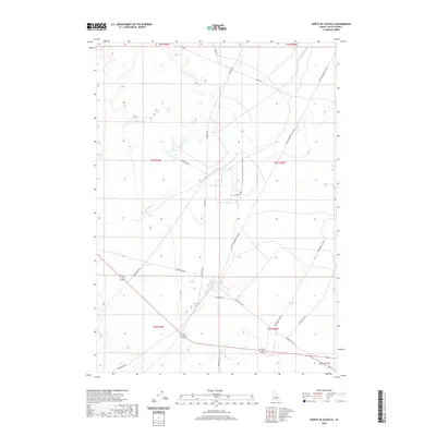
2020 Map of North of Scoville
USGS Topo · Published 2020About this map
The Big Lost River meanders across this high desert landscape, carving a natural path through the otherwise grid-patterned topography of southeastern Butte County. In the southeastern corner, the settlement of Ryegrass Flat sits at a junction of regional roads including Jefferson Blvd. The map reveals an extensive and organized transportation network, characterized by long, straight thoroughfares such as Lincoln Blvd, Monroe Blvd, and Van Buren Blvd. These named boulevards, along with secondary routes like Stage Rd and Howe Rd, suggest a planned infrastructure developed to support the specific needs of this arid region. The presence of Main St and intersecting residential avenues like E Ogden Ave and W Portland Ave highlights the localized hubs of activity that anchor the surrounding open terrain.
Find a feature on this map
23 named features on this map. Tap any name to fly to it.
Don’t see what you’re looking for? This feature index may not catch every label — zoom into the map to look around manually.
Map Details
Editions of this 2020 North of Scoville Map
This is the sole edition of this map. No revisions or reprints were ever made.
Other maps of this area

1955 · Idaho Falls
USGS Topo · 1:250,000

1958 · Idaho Falls
USGS Topo · 1:250,000

1972 · Arco Hills SE
USGS Topo · 1:24,000

1972 · Big Southern Butte
USGS Topo · 1:24,000

1972 · Howe Peak
USGS Topo · 1:24,000

1973 · Scoville
USGS Topo · 1:24,000

1973 · Circular Butte 3 NE
USGS Topo · 1:24,000

1973 · Atomic City
USGS Topo · 1:24,000

1973 · Circular Butte 3 SW
USGS Topo · 1:24,000

1973 · Circular Butte 3 SE
USGS Topo · 1:24,000