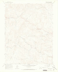
1967 Map of North Pass
USGS Topo · Published 1970About this map
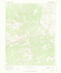
The Continental Divide zigzags across this high-elevation landscape, marking the hydrological boundary between the Gunnison National Forest and the Rio Grande National Forest. Surveyed in the late 1960s, the terrain is defined by the Cochetopa Hills and two primary mountain crossings: North Pass and Cochetopa Pass. The map details a network of drainage systems including Luders Creek, Samora Creek, and Cantonment Creek, which carve out significant features like Taylor Canyon and Rabbit Canyon. While largely wilderness, the presence of the Luders Creek Campground and Buffalo Pass Campground alongside various Jeep Trails reflects the mid-century recreational use of these national forests. At the southern edge, the map identifies Moudy Bottom, illustrating the varied topography from high peaks to lower meadow basins.
Find a feature on this map
28 named features on this map. Tap any name to fly to it.
Don’t see what you’re looking for? This feature index may not catch every label — zoom into the map to look around manually.
Map Details
Editions of this 1967 North Pass Map
4 editions found
Other maps of this area

1956 · Montrose
USGS Topo · 1:250,000

1959 · Montrose
USGS Topo · 1:250,000

1960 · Montrose
USGS Topo · 1:250,000

1962 · West Baldy
USGS Topo · 1:24,000

1962 · Razor Creek Dome
USGS Topo · 1:24,000
1967 · North Pass
USGS Topo · 1:24,000

1967 · Sargents Mesa
USGS Topo · 1:24,000

1967 · Trickle Mountain
USGS Topo · 1:24,000
1967 · Grouse Creek
USGS Topo · 1:24,000
1967 · Saguache Park
USGS Topo · 1:24,000